
Yountville, Napa Valley, California
1951 USGS Map of Yountville, Napa Valley, California combined with a digitally-rendered 3-dimensional elevation. 2D print Lustre Prints: Archival ...
View full detailsThe original historic elevations
 Save Liquid error (snippets/product-badge line 32): Computation results in '-Infinity'%
1951 USGS Map of Yountville, Napa Valley, California combined with a digitally-rendered 3-dimensional elevation. 2D print Lustre Prints: Archival ...
View full details Save Liquid error (snippets/product-badge line 32): Computation results in '-Infinity'%
1963 USGS Map of Kingston, New York combined with a digitally-rendered 3-dimensional elevation. 2D print Lustre Prints: Archival photo inkjet prin...
View full details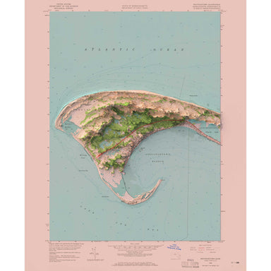 Save Liquid error (snippets/product-badge line 32): Computation results in '-Infinity'%
1958 United States Geological Survey map of Provincetown, Massachusetts combined with a digitally-rendered 3-dimensional elevation. 2D print Lustr...
View full details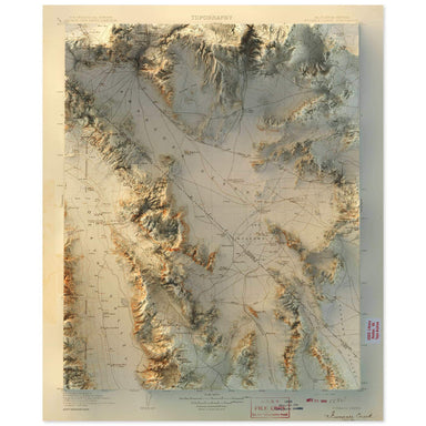 Save Liquid error (snippets/product-badge line 32): Computation results in '-Infinity'%
1908 United States Geological Survey map of Furnace Creek, California combined with a digitally-rendered 3-dimensional elevation. 2D print Lustre ...
View full details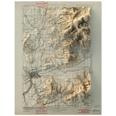 Save Liquid error (snippets/product-badge line 32): Computation results in '-Infinity'%
1901 United States Geological Survey map of Spokane, Washington combined with a digitally-rendered 3-dimensional elevation. 2D print Lustre Prints...
View full details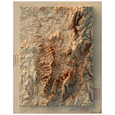 Save Liquid error (snippets/product-badge line 32): Computation results in '-Infinity'%
1900 United States Geological Survey map of Taconic, New York combined with a digitally-rendered 3-dimensional elevation. 2D print Lustre Prints: ...
View full details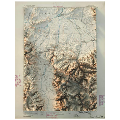 Save Liquid error (snippets/product-badge line 32): Computation results in '-Infinity'%
1888 United States Geological Survey map of Three Forks, Montana combined with a digitally-rendered 3-dimensional elevation. 2D print Lustre Print...
View full details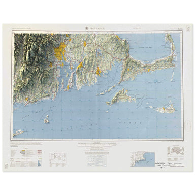 Save Liquid error (snippets/product-badge line 32): Computation results in '-Infinity'%
1957 Army Map Service map of Providence, Rhode Island combined with a digitally-rendered 3-dimensional elevation. 2D print Lustre Prints: Archival...
View full details Save Liquid error (snippets/product-badge line 32): Computation results in '-Infinity'%
1953 United States Geological Survey map of Pasadena, California combined with a digitally-rendered 3-dimensional elevation. 2D print Lustre Print...
View full details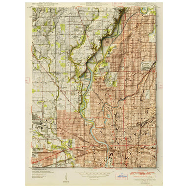 Save Liquid error (snippets/product-badge line 32): Computation results in '-Infinity'%
1948 United States Geological Survey map of Indianapolis, Indiana combined with a digitally-rendered 3-dimensional elevation. 2D print Lustre Prin...
View full details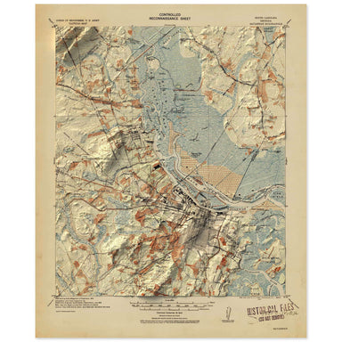 Save Liquid error (snippets/product-badge line 32): Computation results in '-Infinity'%
1912 United States Geological Survey map of Savannah, Georgia combined with a digitally-rendered 3-dimensional elevation. 2D print Lustre Prints: ...
View full details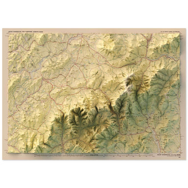 Save Liquid error (snippets/product-badge line 32): Computation results in '-Infinity'%
1986 United States Geological Survey map of Mt. Washington, New Hampshire combined with a digitally-rendered 3-dimensional elevation. 2D print Lus...
View full details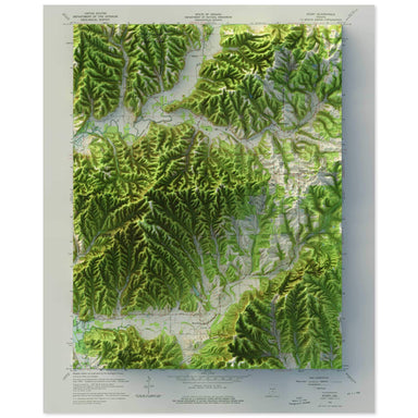 Save Liquid error (snippets/product-badge line 32): Computation results in '-Infinity'%
1967 United States Geological Survey map of Story, Indiana combined with a digitally-rendered 3-dimensional elevation. 2D print Lustre Prints: Arc...
View full details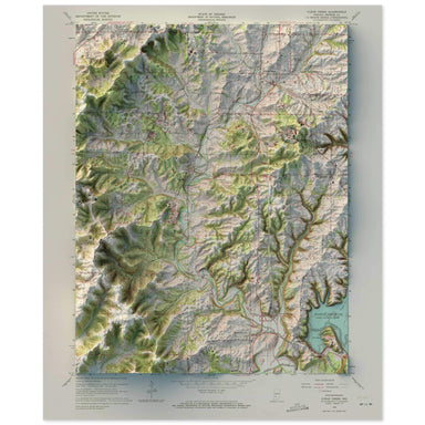 Save Liquid error (snippets/product-badge line 32): Computation results in '-Infinity'%
1965 United States Geological Survey map of Clear Creek, Indiana combined with a digitally-rendered 3-dimensional elevation. 2D print Lustre Print...
View full details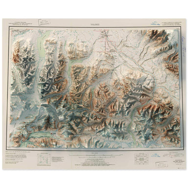 Save Liquid error (snippets/product-badge line 32): Computation results in '-Infinity'%
1952 United States Geological Survey map of Valdez, Alaska combined with a digitally-rendered 3-dimensional elevation. 2D print Lustre Prints: Arc...
View full details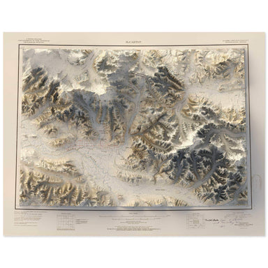 Save Liquid error (snippets/product-badge line 32): Computation results in '-Infinity'%
1951 United States Geological Survey map of McCarthy, Alaska combined with a digitally-rendered 3-dimensional elevation. 2D print Lustre Prints: A...
View full details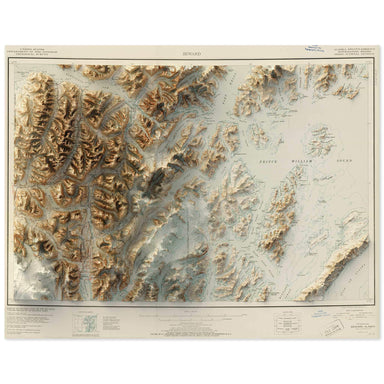 Save Liquid error (snippets/product-badge line 32): Computation results in '-Infinity'%
1951 United States Geological Survey map of Seward, Alaska combined with a digitally-rendered 3-dimensional elevation. 2D print Lustre Prints: Arc...
View full details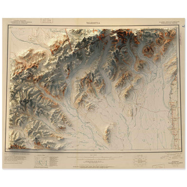 Save Liquid error (snippets/product-badge line 32): Computation results in '-Infinity'%
1951 United States Geological Survey map of Talkeetna, Alaska combined with a digitally-rendered 3-dimensional elevation. 2D print Lustre Prints: ...
View full details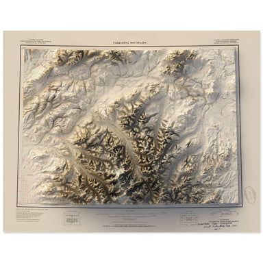 Save Liquid error (snippets/product-badge line 32): Computation results in '-Infinity'%
1950 United States Geological Survey map of Talkeetna Mountains, Alaska combined with a digitally-rendered 3-dimensional elevation. 2D print Lustr...
View full details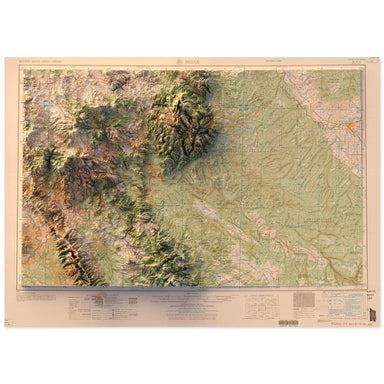 Save Liquid error (snippets/product-badge line 32): Computation results in '-Infinity'%
1959 United States Geological Survey map of Moab, Utah combined with a digitally-rendered 3-dimensional elevation. 2D print Lustre Prints: Archiva...
View full details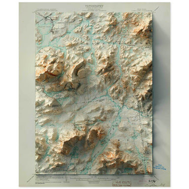 Save Liquid error (snippets/product-badge line 32): Computation results in '-Infinity'%
1904 United States Geological Survey map of Long Lake, New York combined with a digitally-rendered 3-dimensional elevation. 2D print Lustre Prints...
View full details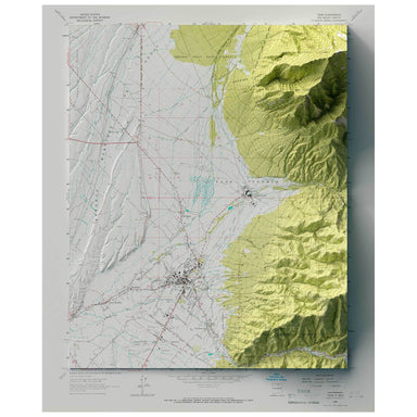 Save Liquid error (snippets/product-badge line 32): Computation results in '-Infinity'%
1964 United States Geological Survey map of Taos, New Mexico combined with a digitally-rendered 3-dimensional elevation. 2D print 2D print Lustre ...
View full details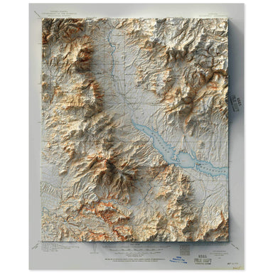 Save Liquid error (snippets/product-badge line 32): Computation results in '-Infinity'%
1907 United States Geological Survey map of Roosevelt, Arizona combined with a digitally-rendered 3-dimensional elevation. 2D print Lustre Prints:...
View full details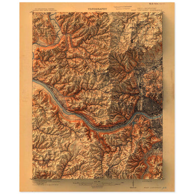 Save Liquid error (snippets/product-badge line 32): Computation results in '-Infinity'%
1914 United States Geological Survey topographic map of Cincinnati, Ohio combined with a digitally-rendered 3-dimensional elevation. 2D print Lust...
View full details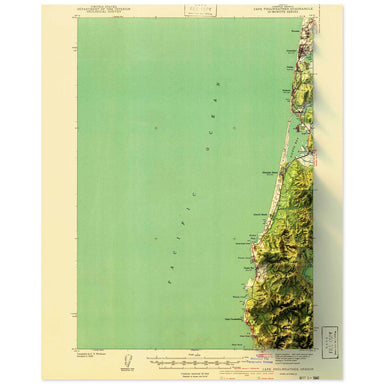 Save Liquid error (snippets/product-badge line 32): Computation results in '-Infinity'%
1941 United States Geological Survey topographic map of Cape Foulweather, Oregon combined with a digitally-rendered 3-dimensional elevation. 2D pr...
View full details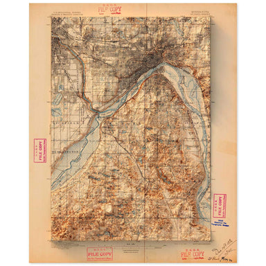 Save Liquid error (snippets/product-badge line 32): Computation results in '-Infinity'%
1896 United States Geological Survey topographic map of St. Paul, Minnesota combined with a digitally-rendered 3-dimensional elevation. 2D print L...
View full details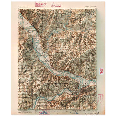 Save Liquid error (snippets/product-badge line 32): Computation results in '-Infinity'%
1890 United States Geological Survey topographic map of Kansas City, Missouri combined with a digitally-rendered 3-dimensional elevation. 2D print...
View full details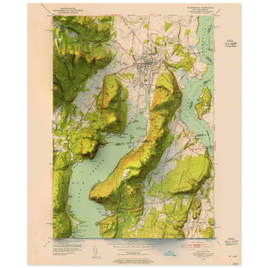 Save Liquid error (snippets/product-badge line 32): Computation results in '-Infinity'%
1952 United States Geological Survey topographic map of Sodus, New York combined with a digitally-rendered 3-dimensional elevation. 2D print Lustr...
View full details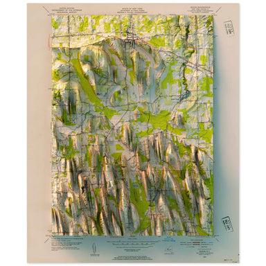 Save Liquid error (snippets/product-badge line 32): Computation results in '-Infinity'%
1952 United States Geological Survey topographic map of Sodus, New York combined with a digitally-rendered 3-dimensional elevation. 2D print Lustr...
View full details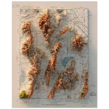 Save Liquid error (snippets/product-badge line 32): Computation results in '-Infinity'%
1932 United States Geological Survey topographic map of Sonoma Range, Nevada combined with a digitally-rendered 3-dimensional elevation. 2D print ...
View full details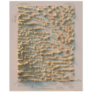 Save Liquid error (snippets/product-badge line 32): Computation results in '-Infinity'%
1949 United States Geological Survey topographic map of Ashby, Nebraska combined with a digitally-rendered 3-dimensional elevation. 2D print Lustr...
View full details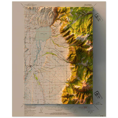 Save Liquid error (snippets/product-badge line 32): Computation results in '-Infinity'%
1949 United States Geological Survey topographic map of Ennis, Montana combined with a digitally-rendered 3-dimensional elevation. 2D print Lustre...
View full details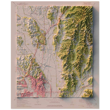 Save Liquid error (snippets/product-badge line 32): Computation results in '-Infinity'%
1973 United States Geological Survey topographic map of Tupelo, Mississippi combined with a digitally-rendered 3-dimensional elevation. 2D print L...
View full details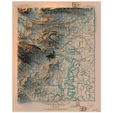 Save Liquid error (snippets/product-badge line 32): Computation results in '-Infinity'%
1891 United States Geological Survey topographic map of Little Rock, Arkansas combined with a digitally-rendered 3-dimensional elevation. 2D print...
View full details Save Liquid error (snippets/product-badge line 32): Computation results in '-Infinity'%
1886 United States Geological Survey topographic map of Iris Wash, California combined with a digitally-rendered 3-dimensional elevation. 2D print...
View full details Save Liquid error (snippets/product-badge line 32): Computation results in '-Infinity'%
1953 United States Geological Survey topographic map of Mono Craters, California combined with a digitally-rendered 3-dimensional elevation. 2D pr...
View full details Save Liquid error (snippets/product-badge line 32): Computation results in '-Infinity'%
1956 United States Geological Survey topographic map of Matterhorn Peak, California combined with a digitally-rendered 3-dimensional elevation. 2D...
View full details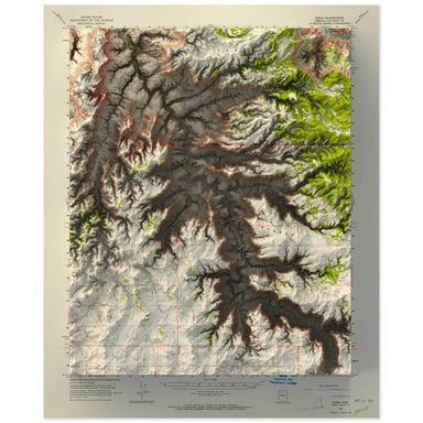 Save Liquid error (snippets/product-badge line 32): Computation results in '-Infinity'%
1962 United States Geological Survey topographic map of Supai, Grand Canyon, Arizona combined with a digitally-rendered 3-dimensional elevation. 2...
View full details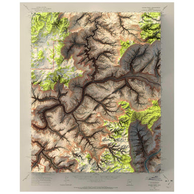 Save Liquid error (snippets/product-badge line 32): Computation results in '-Infinity'%
1962 United States Geological Survey topographic map of Kanab Point, Grand Canyon, Arizona combined with a digitally-rendered 3-dimensional elevati...
View full details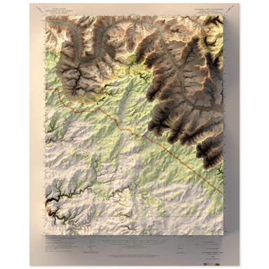 Save Liquid error (snippets/product-badge line 32): Computation results in '-Infinity'%
1962 United States Geological Survey topographic map of Havasupai Point, Grand Canyon, Arizona combined with a digitally-rendered 3-dimensional ele...
View full details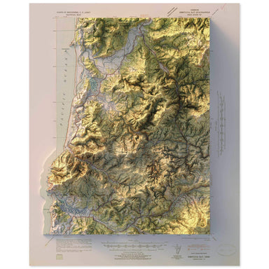 Save Liquid error (snippets/product-badge line 32): Computation results in '-Infinity'%
1941 United States Geological Survey topographic map of Nestucca Bay, Oregon combined with a digitally-rendered 3-dimensional elevation. 2D print ...
View full details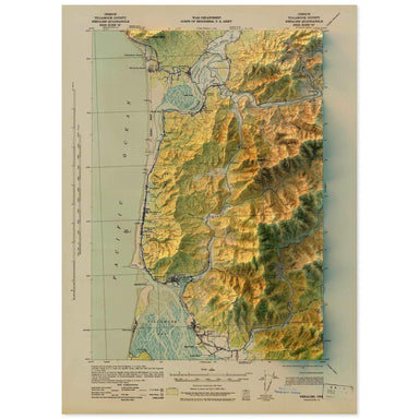 Save Liquid error (snippets/product-badge line 32): Computation results in '-Infinity'%
1943 United States Geological Survey topographic map of Nehalem, Oregon combined with a digitally-rendered 3-dimensional elevation. 2D print Lustr...
View full details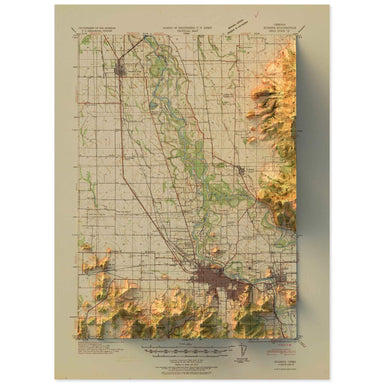 Save Liquid error (snippets/product-badge line 32): Computation results in '-Infinity'%
1940 United States Geological Survey topographic map of Eugene, Oregon combined with a digitally-rendered 3-dimensional elevation. 2D print Lustre...
View full details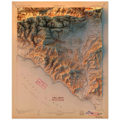 Save Liquid error (snippets/product-badge line 32): Computation results in '-Infinity'%
1904 United States Geological Survey topographic map of Ventura, California combined with a digitally-rendered 3-dimensional elevation. 2D print L...
View full details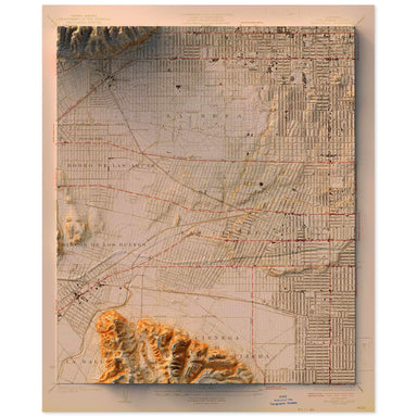 Save Liquid error (snippets/product-badge line 32): Computation results in '-Infinity'%
1926 United States Geological Survey topographic map of Hollywood, California combined with a digitally-rendered 3-dimensional elevation. 2D print...
View full details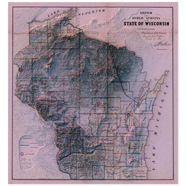 Save Liquid error (snippets/product-badge line 32): Computation results in '-Infinity'%
1866 “Sketch of the Public Surveys in the State of Wisconsin” from the Department of the Interior General Land Office combined with a digitally-ren...
View full details Save Liquid error (snippets/product-badge line 32): Computation results in '-Infinity'%
1935 Army Map Service topographic map of Mt. Shasta, California combined with a digitally-rendered 3-dimensional elevation. 2D print Lustre Prints...
View full details Save Liquid error (snippets/product-badge line 32): Computation results in '-Infinity'%
1957 United States Geological Survey topographic map of Palm Springs, California combined with a digitally-rendered 3-dimensional elevation. 2D pr...
View full details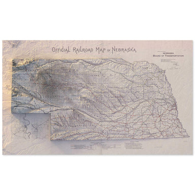 Save Liquid error (snippets/product-badge line 32): Computation results in '-Infinity'%
1890s Nebraska Board of Transportation Official Railroad Map of Nebraska combined with a digitally-rendered 3-dimensional elevation. 2D print Lust...
View full details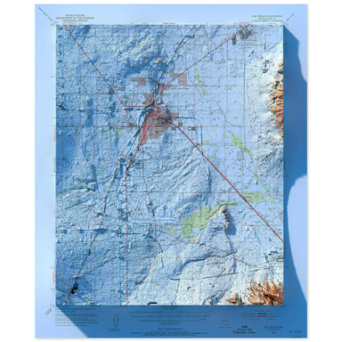 Save Liquid error (snippets/product-badge line 32): Computation results in '-Infinity'%
1952 United States Geological Survey map of Las Vegas combined with a digitally-rendered 3-dimensional elevation. 2D print Lustre Prints: Archival...
View full details
