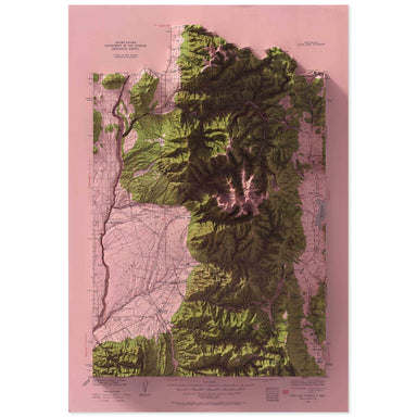
Taos, New Mexico
1936 United States Geological Survey topographic map of Taos, New Mexico combined with a digitally-rendered 3-dimensional elevation. 2D print Lust...
View full detailsThe original historic elevations
 Save Liquid error (snippets/product-badge line 32): Computation results in '-Infinity'%
1936 United States Geological Survey topographic map of Taos, New Mexico combined with a digitally-rendered 3-dimensional elevation. 2D print Lust...
View full details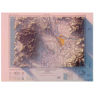 Save Liquid error (snippets/product-badge line 32): Computation results in '-Infinity'%
1957 Army Map Service topographic map of Portland, Oregon* combined with a digitally-rendered 3-dimensional elevation. 2D print Lustre Prints: Arc...
View full details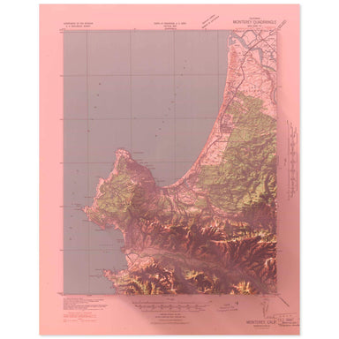 Save Liquid error (snippets/product-badge line 32): Computation results in '-Infinity'%
1941 United States Geological Survey topographic map of Carmel, California combined with a digitally-rendered 3-dimensional elevation. 2D print Lu...
View full details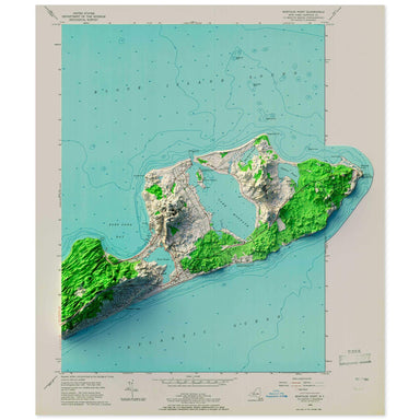 Save Liquid error (snippets/product-badge line 32): Computation results in '-Infinity'%
1956 United States Geological Survey topographic map of Montauk, New York combined with a digitally-rendered 3-dimensional elevation. 2D print Lus...
View full details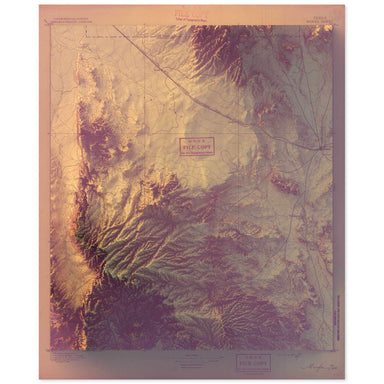 Save Liquid error (snippets/product-badge line 32): Computation results in '-Infinity'%
1895 United States Geological Survey geological map of Marfa, Texas combined with a digitally-rendered 3-dimensional elevation. 2D print Lustre Pr...
View full details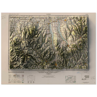 Save Liquid error (snippets/product-badge line 32): Computation results in '-Infinity'%
1950 Army Map Service map of the Finger Lakes, New York combined with a digitally-rendered 3-dimensional elevation. 2D print Lustre Prints: Archiv...
View full details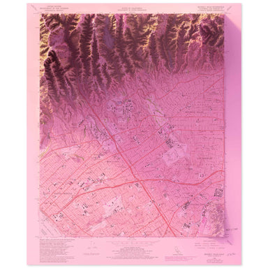 Save Liquid error (snippets/product-badge line 32): Computation results in '-Infinity'%
1966 United States Geological Survey topographic map of Beverly Hills, California combined with a digitally-rendered 3-dimensional elevation. 2D p...
View full details Save Liquid error (snippets/product-badge line 32): Computation results in '-Infinity'%
1956 USGS Map of Beacon, New York combined with a digitally-rendered 3-dimensional elevation. 2D print Lustre Prints: Archival photo inkjet print ...
View full details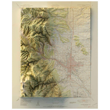 Save Liquid error (snippets/product-badge line 32): Computation results in '-Infinity'%
1951 United States Geological Survey map of Colorado Springs, Colorado combined with a digitally-rendered 3-dimensional elevation. 2D print Lustre...
View full details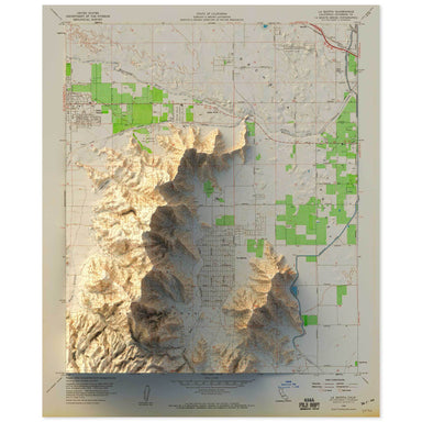 Save Liquid error (snippets/product-badge line 32): Computation results in '-Infinity'%
1959 United States Geological Survey topographic map of the Coachella Valley, California combined with a digitally-rendered 3-dimensional elevation...
View full details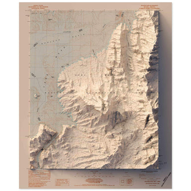 Save Liquid error (snippets/product-badge line 32): Computation results in '-Infinity'%
1983 United States Geological Survey topographic map of Hoover Dam, Nevada combined with a digitally-rendered 3-dimensional elevation. 2D print Lu...
View full details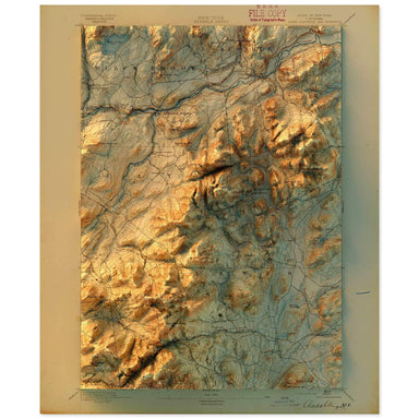 Save Liquid error (snippets/product-badge line 32): Computation results in '-Infinity'%
1895 United States Geological Survey topographic map of Ausable, New York combined with a digitally-rendered 3-dimensional elevation. 2D print Lus...
View full details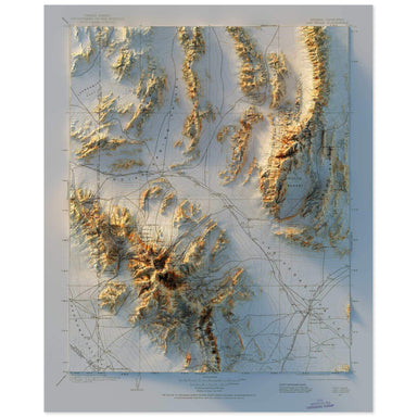 Save Liquid error (snippets/product-badge line 32): Computation results in '-Infinity'%
1904 United States Geological Survey topographic map of Las Vegas, Nevada combined with a digitally-rendered 3-dimensional elevation. 2D print Lus...
View full details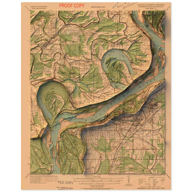 Save Liquid error (snippets/product-badge line 32): Computation results in '-Infinity'%
1931 United States Geological Survey topographic map of Horseshoe Lake, Arkansas combined with a digitally-rendered 3-dimensional elevation. 2D pr...
View full details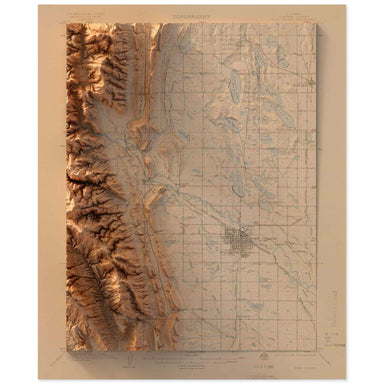 Save Liquid error (snippets/product-badge line 32): Computation results in '-Infinity'%
1906 United States Geological Survey topographic map of Ft. Collins, Colorado combined with a digitally-rendered 3-dimensional elevation. 2D print...
View full details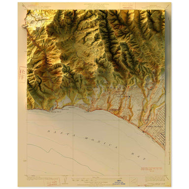 Save Liquid error (snippets/product-badge line 32): Computation results in '-Infinity'%
1928 United States Geological Survey topographic map of Topanga, California combined with a digitally-rendered 3-dimensional elevation. 2D print L...
View full details Save Liquid error (snippets/product-badge line 32): Computation results in '-Infinity'%
1934 United States Geological Survey geological map of Vail, Colorado combined with a digitally-rendered 3-dimensional elevation. 2D print Lustre ...
View full details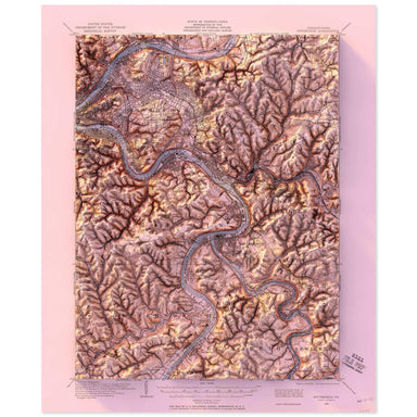 Save Liquid error (snippets/product-badge line 32): Computation results in '-Infinity'%
1904 United States Geological Survey topographic map of Pittsburgh, Pennsylvania combined with a digitally-rendered 3-dimensional elevation. 2D pr...
View full details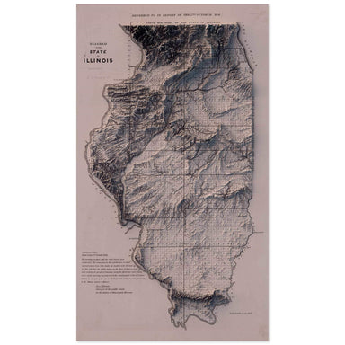 Save Liquid error (snippets/product-badge line 32): Computation results in '-Infinity'%
1841 "Diagram of the State of Illinois" combined with a digitally-rendered 3-dimensional elevation. 2D print Lustre Prints: Archival photo inkjet ...
View full details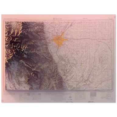 Save Liquid error (snippets/product-badge line 32): Computation results in '-Infinity'%
1957 United States Geological Survey geological map of Denver, Colorado combined with a digitally-rendered 3-dimensional elevation. 2D print Lustr...
View full details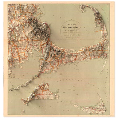 Save Liquid error (snippets/product-badge line 32): Computation results in '-Infinity'%
1890 map of Cape Cod, Massachusetts and vicinity combined with a digitally-rendered 3-dimensional elevation. 2D print Lustre Prints: Archival phot...
View full details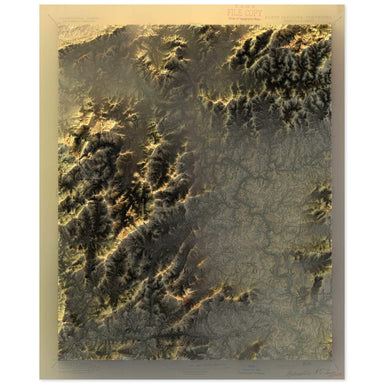 Save Liquid error (snippets/product-badge line 32): Computation results in '-Infinity'%
1894 United States Geological Survey topographic map of the Asheville, North Carolina region combined with a digitally-rendered 3-dimensional eleva...
View full details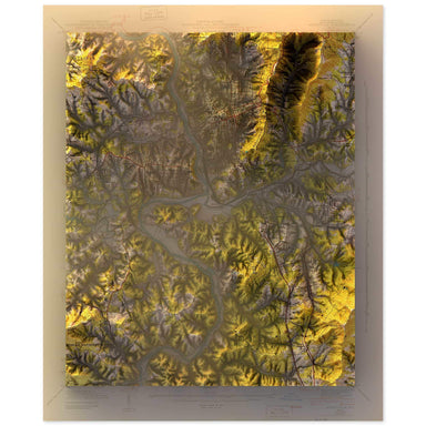 Save Liquid error (snippets/product-badge line 32): Computation results in '-Infinity'%
1943 United States Geological Survey topographic map of Asheville, North Carolina combined with a digitally-rendered 3-dimensional elevation. 2D p...
View full details Save Liquid error (snippets/product-badge line 32): Computation results in '-Infinity'%
1957 USGS Map of Poughkeepsie, New York combined with a digitally-rendered 3-dimensional elevation. 2D print Lustre Prints: Archival photo inkjet ...
View full details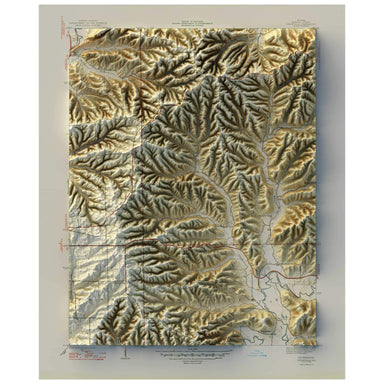 Save Liquid error (snippets/product-badge line 32): Computation results in '-Infinity'%
1947 United States Geological Survey map of Unionville, Indiana combined with a digitally-rendered 3-dimensional elevation. 2D print Lustre Prints...
View full details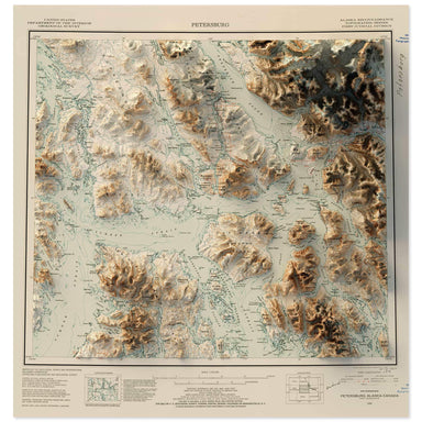 Save Liquid error (snippets/product-badge line 32): Computation results in '-Infinity'%
1952 United States Geological Survey map of Petersburg, Alaska combined with a digitally-rendered 3-dimensional elevation. 2D print Lustre Prints:...
View full details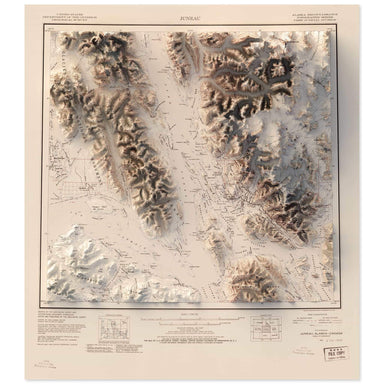 Save Liquid error (snippets/product-badge line 32): Computation results in '-Infinity'%
1951 United States Geological Survey map of Juneau, Alaska combined with a digitally-rendered 3-dimensional elevation. 2D print Lustre Prints: Arc...
View full details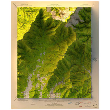 Save Liquid error (snippets/product-badge line 32): Computation results in '-Infinity'%
1942 United States Geological Survey topographic map of Black Mountain, North Carolina combined with a digitally-rendered 3-dimensional elevation. ...
View full details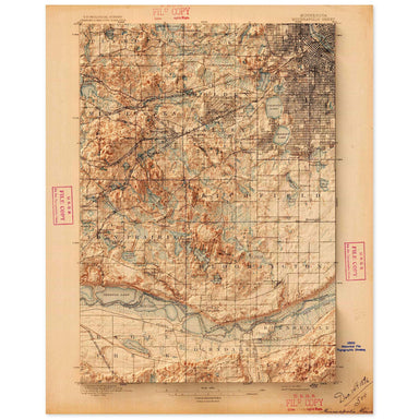 Save Liquid error (snippets/product-badge line 32): Computation results in '-Infinity'%
1896 United States Geological Survey topographic map of Minneapolis, Minnesota combined with a digitally-rendered 3-dimensional elevation. 2D prin...
View full details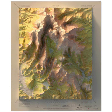 Save Liquid error (snippets/product-badge line 32): Computation results in '-Infinity'%
1951 United States Geological Survey topographic map of Pikes Peak, Colorado combined with a digitally-rendered 3-dimensional elevation. 2D print ...
View full details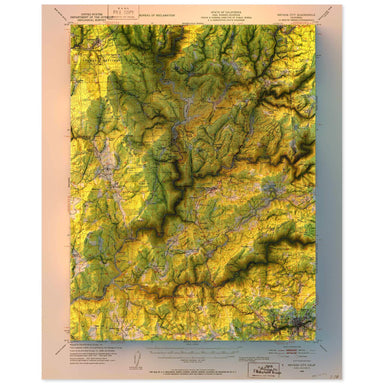 Save Liquid error (snippets/product-badge line 32): Computation results in '-Infinity'%
1948 United States Geological Survey topographic map of Nevada City, California combined with a digitally-rendered 3-dimensional elevation. 2D pri...
View full details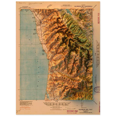 Save Liquid error (snippets/product-badge line 32): Computation results in '-Infinity'%
1940 United States Geological Survey topographic map of Half Moon Bay, California combined with a digitally-rendered 3-dimensional elevation. 2D p...
View full details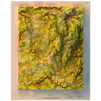 Save Liquid error (snippets/product-badge line 32): Computation results in '-Infinity'%
1949 United States Geological Survey topographic map of Grass Valley, California combined with a digitally-rendered 3-dimensional elevation. 2D pr...
View full details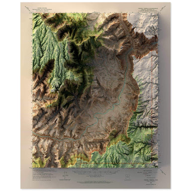 Save Liquid error (snippets/product-badge line 32): Computation results in '-Infinity'%
1962 United States Geological Survey topographic map of Vishnu Temple, Grand Canyon, Arizona combined with a digitally-rendered 3-dimensional eleva...
View full details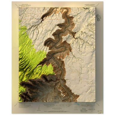 Save Liquid error (snippets/product-badge line 32): Computation results in '-Infinity'%
1954 United States Geological Survey topographic map of Nankoweap, Grand Canyon, Arizona combined with a digitally-rendered 3-dimensional elevation...
View full details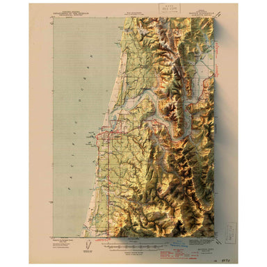 Save Liquid error (snippets/product-badge line 32): Computation results in '-Infinity'%
1944 United States Geological Survey topographic map of Bandon, Oregon combined with a digitally-rendered 3-dimensional elevation. 2D print Lustre...
View full details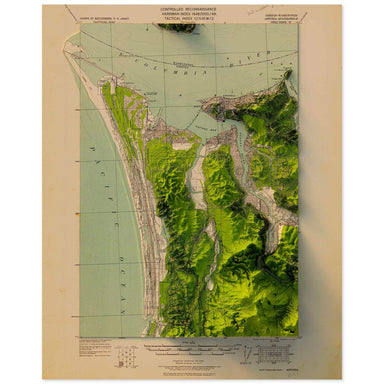 Save Liquid error (snippets/product-badge line 32): Computation results in '-Infinity'%
1919 United States Geological Survey topographic map of Astoria, Oregon combined with a digitally-rendered 3-dimensional elevation. 2D print Lustr...
View full details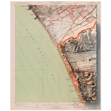 Save Liquid error (snippets/product-badge line 32): Computation results in '-Infinity'%
1934 United States Geological Survey topographic map of Venice, California combined with a digitally-rendered 3-dimensional elevation. 2D print Lu...
View full details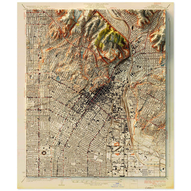 Save Liquid error (snippets/product-badge line 32): Computation results in '-Infinity'%
1928 United States Geological Survey topographic map of Silver Lake, Los Angeles, California combined with a digitally-rendered 3-dimensional eleva...
View full details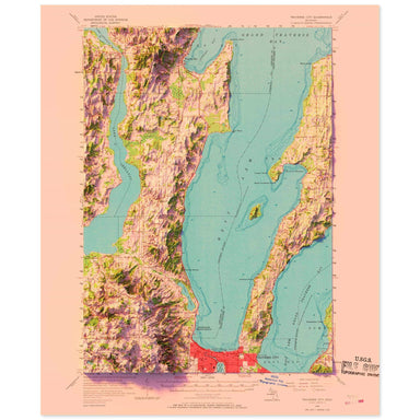 Save Liquid error (snippets/product-badge line 32): Computation results in '-Infinity'%
1957 United States Geological Survey topographic map of Traverse City, Michigan combined with a digitally-rendered 3-dimensional elevation. 2D pri...
View full details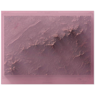 Save Liquid error (snippets/product-badge line 32): Computation results in '-Infinity'%
1949 United States Geological Survey topographic map of the Great Smoky Mountain National Park combined with a digitally-rendered 3-dimensional ele...
View full details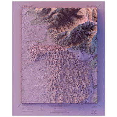 Save Liquid error (snippets/product-badge line 32): Computation results in '-Infinity'%
1967 United States Geological Survey map of Great Sand Dunes National Park combined with a digitally-rendered 3-dimensional elevation. 2D print Lu...
View full details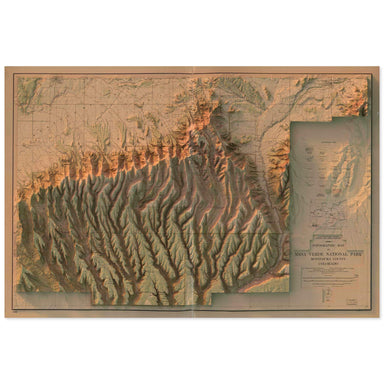 Save Liquid error (snippets/product-badge line 32): Computation results in '-Infinity'%
1915 United States Geological Survey topographic map of Mesa Verde National Park combined with a digitally-rendered 3-dimensional elevation. 2D pr...
View full details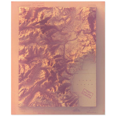 Save Liquid error (snippets/product-badge line 32): Computation results in '-Infinity'%
1893 United States Geological Survey map of Lake Tahoe combined with a digitally-rendered 3-dimensional elevation. 2D print Lustre Prints: Archiva...
View full details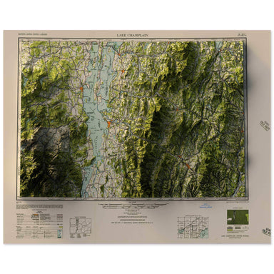 Save Liquid error (snippets/product-badge line 32): Computation results in '-Infinity'%
1950 Army Map Service topographic map of Lake Champlain combined with a digitally-rendered 3-dimensional elevation. 2D print Lustre Prints: Archiv...
View full details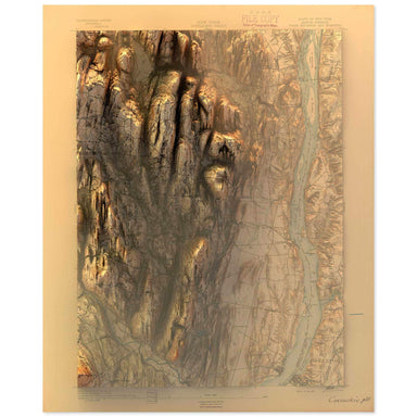 Save Liquid error (snippets/product-badge line 32): Computation results in '-Infinity'%
1893 United States Geological Survey topographic map of the Hudson, New York region combined with a digitally-rendered 3-dimensional elevation. 2D...
View full details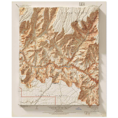 Save Liquid error (snippets/product-badge line 32): Computation results in '-Infinity'%
1903 United States Geological Survey topographic map of the Grand Canyon at Bright Angel Falls combined with a digitally-rendered 3-dimensional ele...
View full details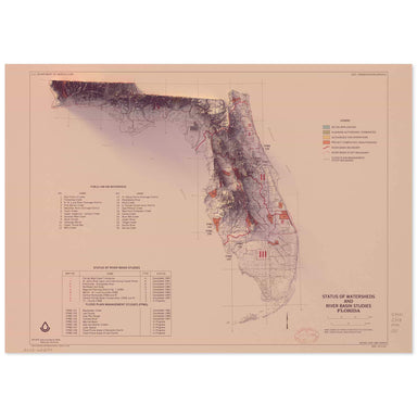 Save Liquid error (snippets/product-badge line 32): Computation results in '-Infinity'%
1988 United States Department of Agriculture “Status of Watersheds and River Basin Studies of Florida” combined with a digitally-rendered 3-dimensi...
View full details Save Liquid error (snippets/product-badge line 32): Computation results in '-Infinity'%
1949 USGS Map of Seattle, Washington combined with a digitally-rendered 3-dimensional elevation. 2D print Lustre Prints: Archival photo inkjet pri...
View full details Save Liquid error (snippets/product-badge line 32): Computation results in '-Infinity'%
1958 USGS Map of Chiles Valley, Napa Valley, California combined with a digitally-rendered 3-dimensional elevation. 2D print Lustre Prints: Archiv...
View full details
