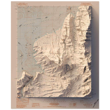
Hoover Dam, Nevada
1983 United States Geological Survey topographic map of Hoover Dam, Nevada combined with a digitally-rendered 3-dimensional elevation. 2D print Lu...
View full details Save Liquid error (snippets/product-badge line 32): Computation results in '-Infinity'%
1983 United States Geological Survey topographic map of Hoover Dam, Nevada combined with a digitally-rendered 3-dimensional elevation. 2D print Lu...
View full details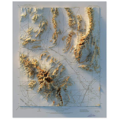 Save Liquid error (snippets/product-badge line 32): Computation results in '-Infinity'%
1904 United States Geological Survey topographic map of Las Vegas, Nevada combined with a digitally-rendered 3-dimensional elevation. 2D print Lus...
View full details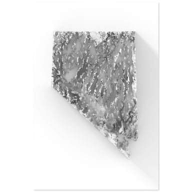 Save Liquid error (snippets/product-badge line 32): Computation results in '-Infinity'%
Digitally-rendered 3-dimensional elevation of Nevada. 2D print Lustre Prints: Archival photo inkjet print on lustre (slight sheen) paper. Matte Gi...
View full details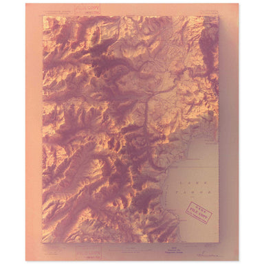 Save Liquid error (snippets/product-badge line 32): Computation results in '-Infinity'%
1893 United States Geological Survey map of Lake Tahoe combined with a digitally-rendered 3-dimensional elevation. 2D print Lustre Prints: Archiva...
View full details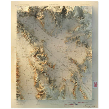 Save Liquid error (snippets/product-badge line 32): Computation results in '-Infinity'%
1908 United States Geological Survey map of Furnace Creek, California combined with a digitally-rendered 3-dimensional elevation. 2D print Lustre ...
View full details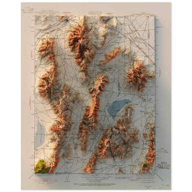 Save Liquid error (snippets/product-badge line 32): Computation results in '-Infinity'%
1932 United States Geological Survey topographic map of Sonoma Range, Nevada combined with a digitally-rendered 3-dimensional elevation. 2D print ...
View full details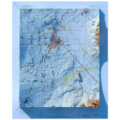 Save Liquid error (snippets/product-badge line 32): Computation results in '-Infinity'%
1952 United States Geological Survey map of Las Vegas combined with a digitally-rendered 3-dimensional elevation. 2D print Lustre Prints: Archival...
View full details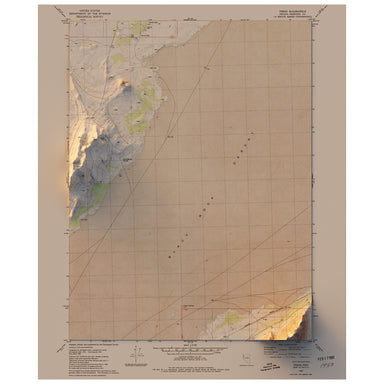 Save Liquid error (snippets/product-badge line 32): Computation results in '-Infinity'%
1980 United States Geological Survey map of Trego, Nevada combined with a digitally-rendered 3-dimensional elevation. 2D print Lustre Prints: Arch...
View full details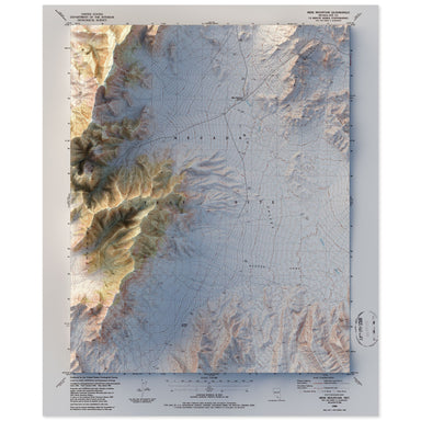 Save Liquid error (snippets/product-badge line 32): Computation results in '-Infinity'%
1986 United States Geological Survey map of Mine Mountain, Nevada combined with a digitally-rendered 3-dimensional elevation. 2D print Lustre Prin...
View full details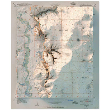 Save Liquid error (snippets/product-badge line 32): Computation results in '-Infinity'%
1950 United States Geological Survey topographic map of Bottomless Lakes, Nevada combined with a digitally-rendered 3-dimensional elevation. 2D pr...
View full details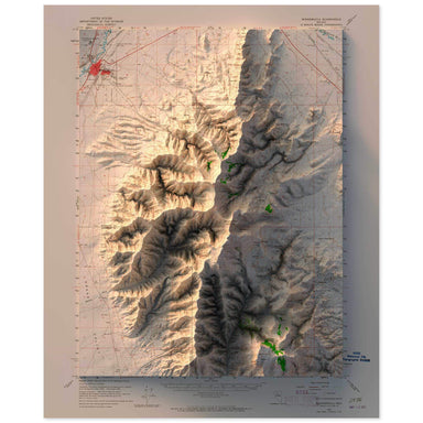 Save Liquid error (snippets/product-badge line 32): Computation results in '-Infinity'%
1958 United States Geological Survey topographic map of Winnemucca, Nevada combined with a digitally-rendered 3-dimensional elevation. 2D print Lu...
View full details
