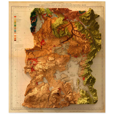
Yellowstone National Park
1878 United States Geological Survey geological map of Yellowstone National Park combined with a digitally-rendered 3-dimensional elevation. 2D pr...
View full details Save Liquid error (snippets/product-badge line 32): Computation results in '-Infinity'%
1878 United States Geological Survey geological map of Yellowstone National Park combined with a digitally-rendered 3-dimensional elevation. 2D pr...
View full details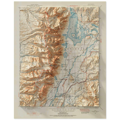 Save Liquid error (snippets/product-badge line 32): Computation results in '-Infinity'%
1899 United States Geological Survey topographic map of the Grand Teton National Park region combined with a digitally-rendered 3-dimensional eleva...
View full details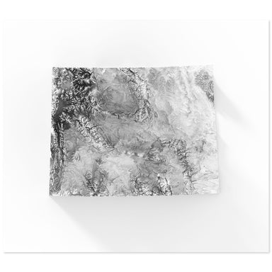 Save Liquid error (snippets/product-badge line 32): Computation results in '-Infinity'%
Digitally-rendered 3-dimensional elevation of Wyoming. 2D print Lustre Prints: Archival photo inkjet print on lustre (slight sheen) paper. Matte G...
View full details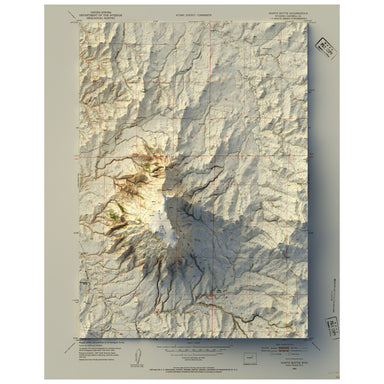 Save Liquid error (snippets/product-badge line 32): Computation results in '-Infinity'%
1953 United States Geological Survey map of North Butte, Wyoming combined with a digitally-rendered 3-dimensional elevation. 2D print Lustre Print...
View full details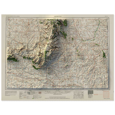 Save Liquid error (snippets/product-badge line 32): Computation results in '-Infinity'%
1958 Army Map Service map of Arminto, Wyoming combined with a digitally-rendered 3-dimensional elevation. 2D print Lustre Prints: Archival photo i...
View full details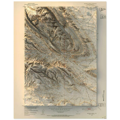 Save Liquid error (snippets/product-badge line 32): Computation results in '-Infinity'%
1951 United States Geological Survey map of Maverick Springs, Wyoming combined with a digitally-rendered 3-dimensional elevation. 2D print Lustre ...
View full details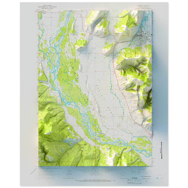 Save Liquid error (snippets/product-badge line 32): Computation results in '-Infinity'%
1963 United States Geological Survey topographic map of Jackson, Wyoming combined with a digitally-rendered 3-dimensional elevation. 2D print Lust...
View full details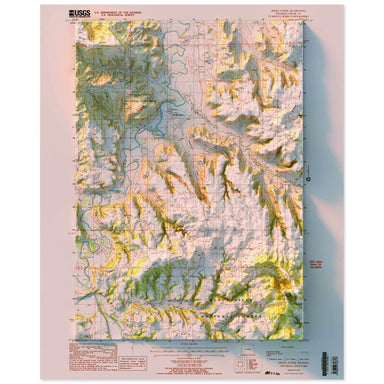 Save Liquid error (snippets/product-badge line 32): Computation results in '-Infinity'%
1984 United States Geological Survey topographic map of Devils Tower, Wyoming combined with a digitally-rendered 3-dimensional elevation. 2D print...
View full details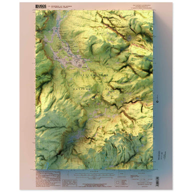 Save Liquid error (snippets/product-badge line 32): Computation results in '-Infinity'%
1986 United States Geological Survey topographic map of Old Faithful, Yellowstone National Park, Wyoming combined with a digitally-rendered 3-dimen...
View full details
