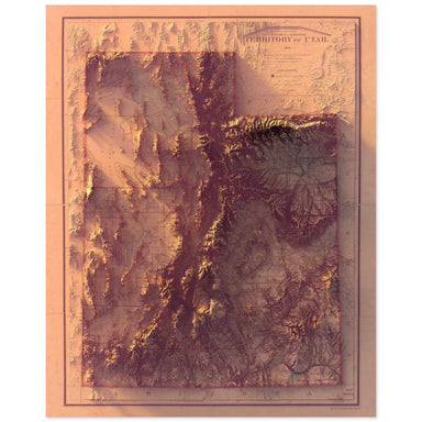
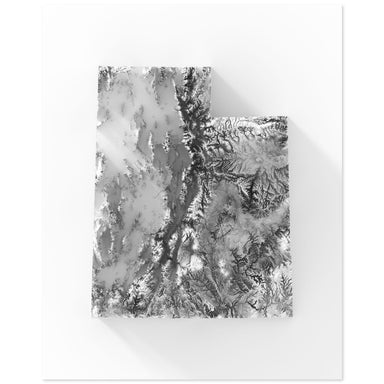
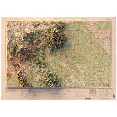
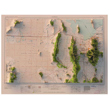
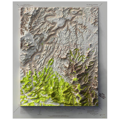
Zion National Park: Temple of Sinawava
1980 United States Geological Survey topographic map of Zion National Park's Temple of Sinawava, including the famous Narrows hike, combined with a...
View full details
Save Liquid error (snippets/product-badge line 32): Computation results in '-Infinity'%
1980 United States Geological Survey topographic map of Zion National Park's Temple of Sinawava, including the famous Narrows hike, combined with a...
View full details
Save Liquid error (snippets/product-badge line 32): Computation results in '-Infinity'%
1893 Department of the Interior map of Utah combined with a digitally-rendered 3-dimensional elevation. 2D print Lustre Prints: Archival photo ink...
View full details
Save Liquid error (snippets/product-badge line 32): Computation results in '-Infinity'%
Digitally-rendered 3-dimensional elevation of Utah. 2D print Lustre Prints: Archival photo inkjet print on lustre (slight sheen) paper. Matte Gicl...
View full details
Save Liquid error (snippets/product-badge line 32): Computation results in '-Infinity'%
1959 United States Geological Survey map of Moab, Utah combined with a digitally-rendered 3-dimensional elevation. 2D print Lustre Prints: Archiva...
View full details
Save Liquid error (snippets/product-badge line 32): Computation results in '-Infinity'%
1958 Army Map Service map of Tooele, Utah combined with a digitally-rendered 3-dimensional elevation. 2D print Lustre Prints: Archival photo inkje...
View full details
Save Liquid error (snippets/product-badge line 32): Computation results in '-Infinity'%
1953 United States Geological Survey map of The Needles, Utah combined with a digitally-rendered 3-dimensional elevation. 2D print Lustre Prints: ...
View full details