

Demotte Park, Grand Canyon
from $55.00
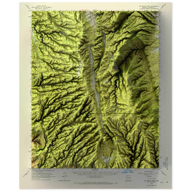
1962 United States Geological Survey topographic map of Demotte Park, Grand Canyon, Arizona combined with a digitally-rendered 3-dimensional elevat...
View full details
1962 United States Geological Survey topographic map of Demotte Park, Grand Canyon, Arizona combined with a digitally-rendered 3-dimensional elevat...
View full details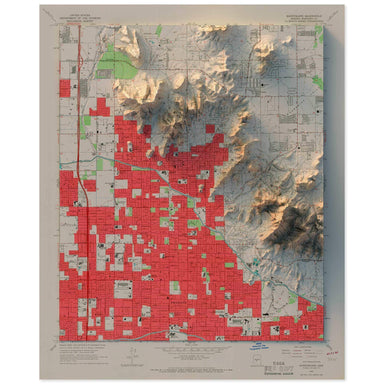
1965 United States Geological Survey topographic map of Phoenix, Arizona combined with a digitally-rendered 3-dimensional elevation. 2D print Lust...
View full details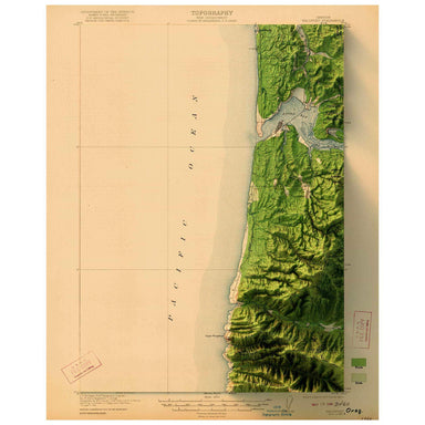
1922 United States Geological Survey topographic map of Waldport, Oregon combined with a digitally-rendered 3-dimensional elevation. 2D print Lust...
View full details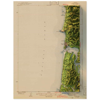
1942 United States Geological Survey topographic map of Yaquina, Oregon combined with a digitally-rendered 3-dimensional elevation. 2D print Lustr...
View full details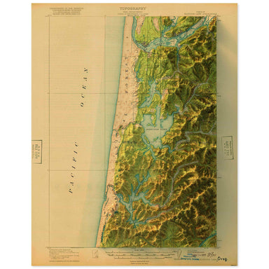
1920 United States Geological Survey topographic map of Siltcoos Lake, Oregon combined with a digitally-rendered 3-dimensional elevation. 2D print...
View full details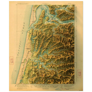
1923 United States Geological Survey topographic map of Reedsport, Oregon combined with a digitally-rendered 3-dimensional elevation. 2D print Lus...
View full details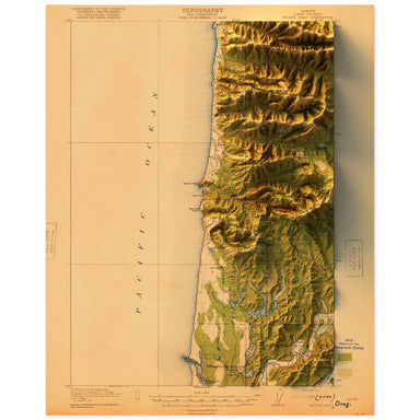
1920 United States Geological Survey topographic map of Heceta Head, Oregon combined with a digitally-rendered 3-dimensional elevation. 2D print L...
View full details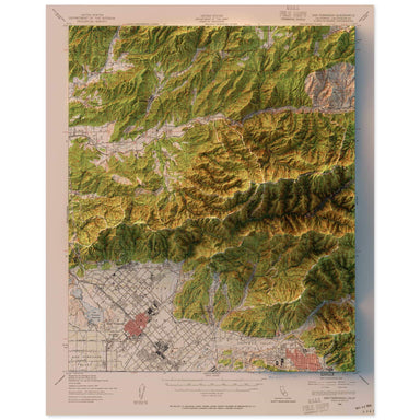
1940 United States Geological Survey topographic map of San Fernando, California combined with a digitally-rendered 3-dimensional elevation. 2D pr...
View full details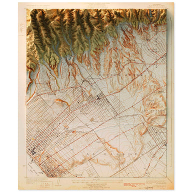
1925 United States Geological Survey topographic map of Santa Monica, California combined with a digitally-rendered 3-dimensional elevation. 2D pr...
View full details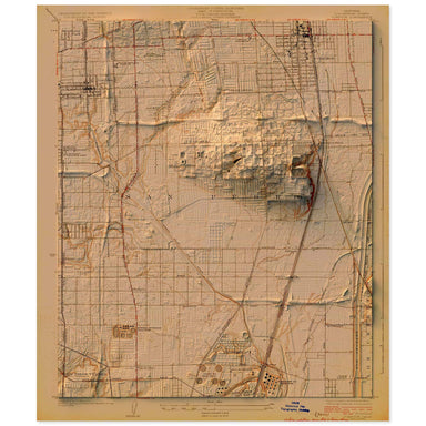
1924 United States Geological Survey topographic map of Compton, Los Angeles, California combined with a digitally-rendered 3-dimensional elevation...
View full details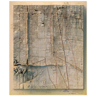
1924 United States Geological Survey topographic map of Watts, Los Angeles, California combined with a digitally-rendered 3-dimensional elevation. ...
View full details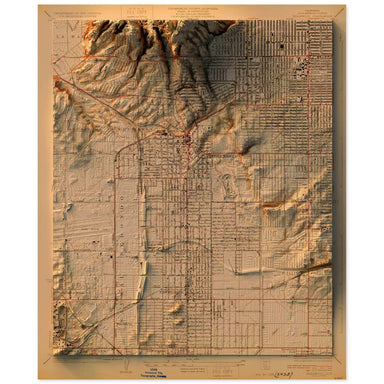
1930 United States Geological Survey topographic map of Inglewood, California combined with a digitally-rendered 3-dimensional elevation. 2D print...
View full details
1955 Central Intelligence Agency map of Tibet combined with a digitally-rendered 3-dimensional elevation. 2D print Lustre Prints: Archival photo i...
View full details
1912 Topographical Map of the Rio Grand from Roma to the Gulf of Mexico combined with a digitally-rendered 3-dimensional elevation. 2D print Lustr...
View full details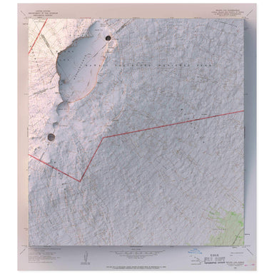
1966 United States Geological Survey topographic map of Mauna Loa and Hawaii Volcanoes National Park on the island of combined with a digitally-ren...
View full details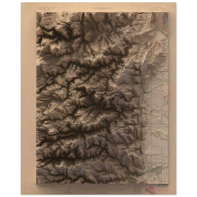
1904 United States Geological Survey geological map of Boulder, Colorado combined with a digitally-rendered 3-dimensional elevation. 2D print Lust...
View full details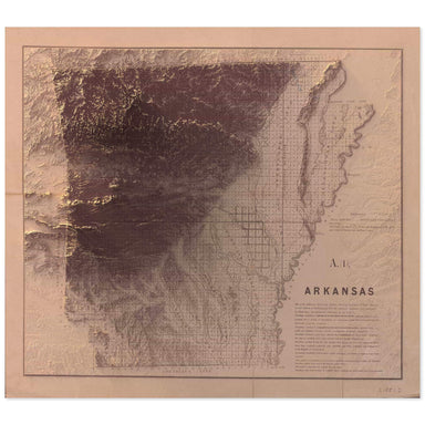
1851 map of Arkansas combined with a digitally-rendered 3-dimensional elevation. 2D print Lustre Prints: Archival photo inkjet print on lustre (sl...
View full details