


Acadia
from $55.00
1904 United States Geological Survey topographic map of the Acadia National Park region combined with a digitally-rendered 3-dimensional elevation....
View full details
1904 United States Geological Survey topographic map of the Acadia National Park region combined with a digitally-rendered 3-dimensional elevation....
View full details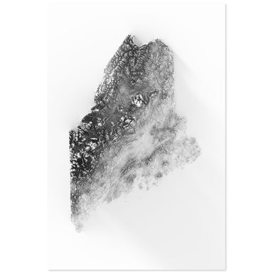
Digitally-rendered 3-dimensional elevation of Maine. 2D print Lustre Prints: Archival photo inkjet print on lustre (slight sheen) paper. Matte Gic...
View full details

A contemporary portrait of Maine, drawn from tree coverage data and rendered with a minimalist approach. Each poster balances high-resolution carto...
View full details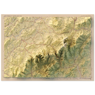
1986 United States Geological Survey map of Mt. Washington, New Hampshire combined with a digitally-rendered 3-dimensional elevation. 2D print Lus...
View full details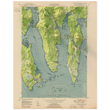
1950 United States Geological Survey map of Petit Manan, Maine combined with a digitally-rendered 3-dimensional elevation. 2D print Lustre Prints:...
View full details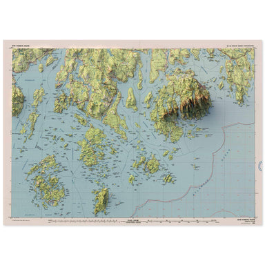
1985 United States Geological Survey map of Bar Harbor, Maine combined with a digitally-rendered 3-dimensional elevation. 2D print Lustre Prints: ...
View full details