California Geology
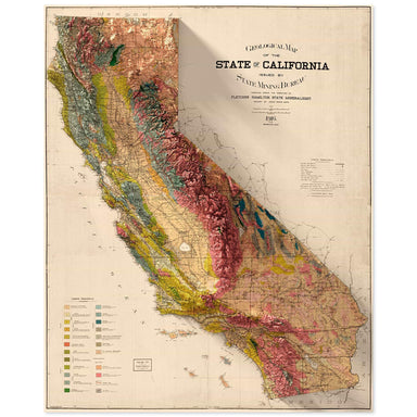
1916 State Mining Bureau of California geologic map of California combined with a digitally-rendered 3-dimensional elevation. 2D print Lustre Prin...
View full detailsThe original historic elevations
 Save Liquid error (snippets/product-badge line 32): Computation results in '-Infinity'%
1916 State Mining Bureau of California geologic map of California combined with a digitally-rendered 3-dimensional elevation. 2D print Lustre Prin...
View full details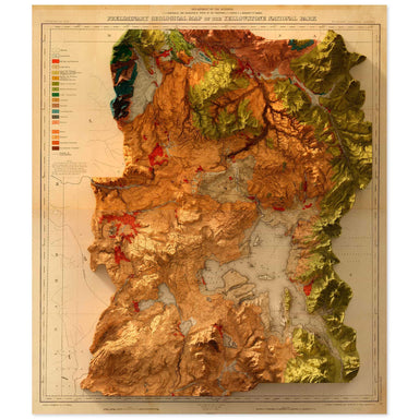 Save Liquid error (snippets/product-badge line 32): Computation results in '-Infinity'%
1878 United States Geological Survey geological map of Yellowstone National Park combined with a digitally-rendered 3-dimensional elevation. 2D pr...
View full details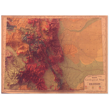 Save Liquid error (snippets/product-badge line 32): Computation results in '-Infinity'%
1880 Rand, McNally & Co. map of the geology of Colorado combined with a digitally-rendered 3-dimensional elevation. 2D print Lustre Prints: Ar...
View full details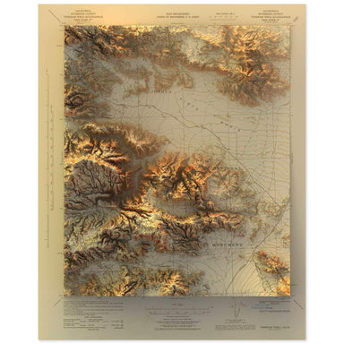 Save Liquid error (snippets/product-badge line 32): Computation results in '-Infinity'%
1943 United States Geological Survey topographic map of the Joshua Tree National Park region combined with a digitally-rendered 3-dimensional eleva...
View full details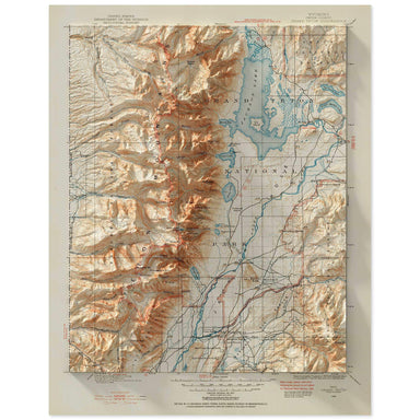 Save Liquid error (snippets/product-badge line 32): Computation results in '-Infinity'%
1899 United States Geological Survey topographic map of the Grand Teton National Park region combined with a digitally-rendered 3-dimensional eleva...
View full details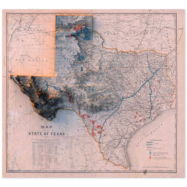 Save Liquid error (snippets/product-badge line 32): Computation results in '-Infinity'%
1887 “Map of the State of Texas” from the New York and Texas Land Company, Limited combined with a digitally-rendered 3-dimensional elevation. 2D ...
View full details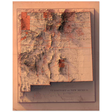 Save Liquid error (snippets/product-badge line 32): Computation results in '-Infinity'%
1882 Department of the Interior, General Land Office map of the New Mexico Territory combined with a digitally-rendered 3-dimensional elevation. 2...
View full details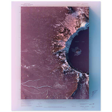 Save Liquid error (snippets/product-badge line 32): Computation results in '-Infinity'%
1975 United State Geological Survey topographic map of Crater Lake, Oregon combined with a digitally-rendered 3-dimensional elevation. 2D print Lu...
View full details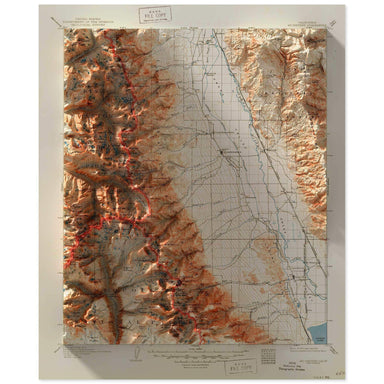 Save Liquid error (snippets/product-badge line 32): Computation results in '-Infinity'%
2D print Lustre Prints: Archival photo inkjet print on lustre (slight sheen) paper. Matte Giclée Prints: Archival pigment-based artist's print on ...
View full details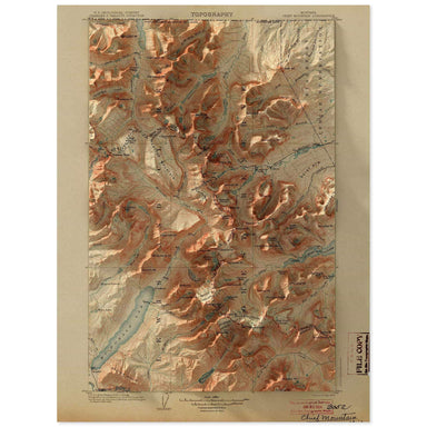 Save Liquid error (snippets/product-badge line 32): Computation results in '-Infinity'%
1904 United States Geological Survey topographic map of the Glacier National Park region combined with a digitally-rendered 3-dimensional elevation...
View full details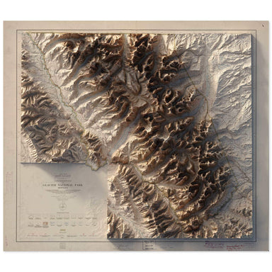 Save Liquid error (snippets/product-badge line 32): Computation results in '-Infinity'%
1915 United States Department of the Interior Administrative Map of Glacier National Park Montana combined with a digitally-rendered 3-dimensional ...
View full details Save Liquid error (snippets/product-badge line 32): Computation results in '-Infinity'%
1980 United States Geological Survey topographic map of Zion National Park's Temple of Sinawava, including the famous Narrows hike, combined with a...
View full details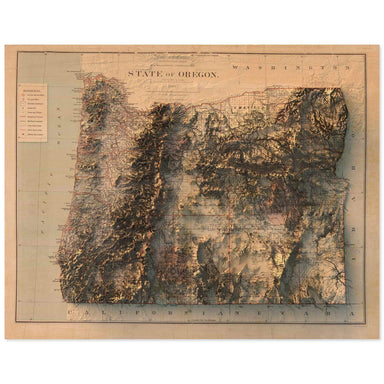 Save Liquid error (snippets/product-badge line 32): Computation results in '-Infinity'%
1879 Department of the Interior, General Land Office map of Oregon combined with a digitally-rendered 3-dimensional elevation. 2D print Lustre Pri...
View full details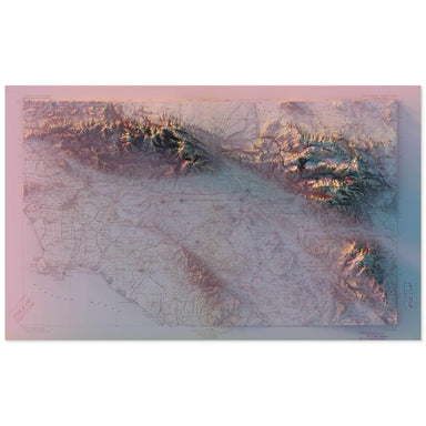 Save Liquid error (snippets/product-badge line 32): Computation results in '-Infinity'%
1901 United States Geological Survey topographic map of Southern California combined with a digitally-rendered 3-dimensional elevation. 2D print L...
View full details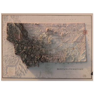 Save Liquid error (snippets/product-badge line 32): Computation results in '-Infinity'%
1879 Department of the Interior, General Land Office map of Montana combined with a digitally-rendered 3-dimensional elevation. 2D print Lustre Pr...
View full details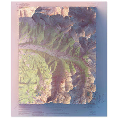 Save Liquid error (snippets/product-badge line 32): Computation results in '-Infinity'%
1955 United States Geological Survey geological map of Telluride, Colorado combined with a digitally-rendered 3-dimensional elevation. 2D print Lu...
View full details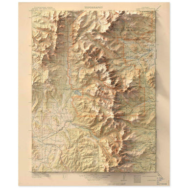 Save Liquid error (snippets/product-badge line 32): Computation results in '-Infinity'%
1915 United States Geological Survey topographic map of the Rocky Mountain National Park region combined with a digitally-rendered 3-dimensional el...
View full details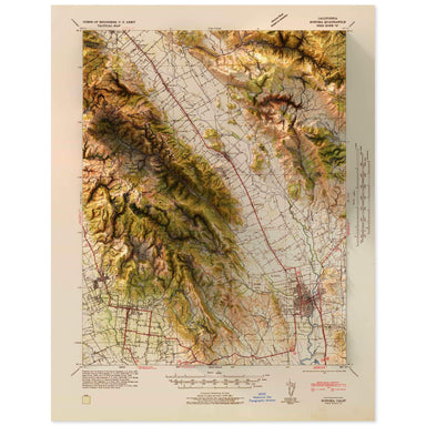 Save Liquid error (snippets/product-badge line 32): Computation results in '-Infinity'%
1942 United States Geological Survey map of Napa Valley, California combined with a digitally-rendered 3-dimensional elevation. 2D print Lustre Pr...
View full details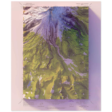 Save Liquid error (snippets/product-badge line 32): Computation results in '-Infinity'%
1962 United States Geological Survey topographic map of Mt. Hood, Oregon combined with a digitally-rendered 3-dimensional elevation. 2D print Lust...
View full details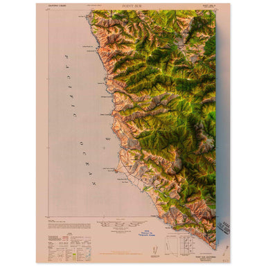 Save Liquid error (snippets/product-badge line 32): Computation results in '-Infinity'%
1947 United States Geological Survey topographic map of Point Sur, California combined with a digitally-rendered 3-dimensional elevation. 2D print...
View full details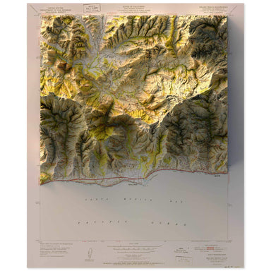 Save Liquid error (snippets/product-badge line 32): Computation results in '-Infinity'%
1951 United States Geological Survey topographic map of Malibu, California combined with a digitally-rendered 3-dimensional elevation. 2D print Lu...
View full details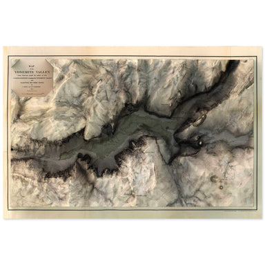 Save Liquid error (snippets/product-badge line 32): Computation results in '-Infinity'%
1865 map of the Yosemite Valley, California combined with a digitally-rendered 3-dimensional elevation. 2D print Lustre Prints: Archival photo ink...
View full details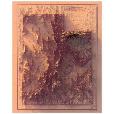 Save Liquid error (snippets/product-badge line 32): Computation results in '-Infinity'%
1893 Department of the Interior map of Utah combined with a digitally-rendered 3-dimensional elevation. 2D print Lustre Prints: Archival photo ink...
View full details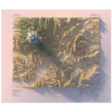 Save Liquid error (snippets/product-badge line 32): Computation results in '-Infinity'%
1978 United States Geological Survey geological map of Mt. Rainier, Washington combined with a digitally-rendered 3-dimensional elevation. 2D prin...
View full details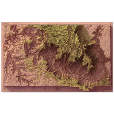 Save Liquid error (snippets/product-badge line 32): Computation results in '-Infinity'%
1962 United States Geological Survey topographic map of Grand Canyon National Park combined with a digitally-rendered 3-dimensional elevation. 2D ...
View full details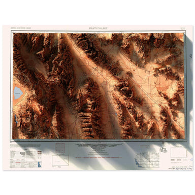 Save Liquid error (snippets/product-badge line 32): Computation results in '-Infinity'%
1956 Army Map Services topographic map of Death Valley, California combined with a digitally-rendered 3-dimensional elevation. 2D print Lustre Pri...
View full details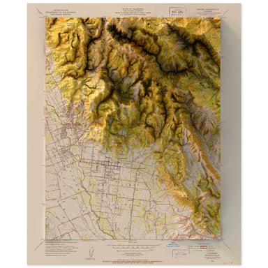 Save Liquid error (snippets/product-badge line 32): Computation results in '-Infinity'%
1951 United States Department of the Interior Administrative Map of Sonoma, California combined with a digitally-rendered 3-dimensional elevation. ...
View full details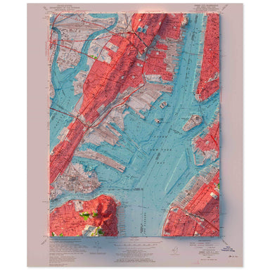 Save Liquid error (snippets/product-badge line 32): Computation results in '-Infinity'%
1955 United States Geological Survey topographic map of the New York Harbor combined with a digitally-rendered 3-dimensional bathymetry and elevati...
View full details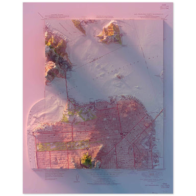 Save Liquid error (snippets/product-badge line 32): Computation results in '-Infinity'%
1947 United States Geological Survey topographic map of San Francisco combined with a digitally-rendered 3-dimensional elevation. 2D print Lustre ...
View full details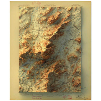 Save Liquid error (snippets/product-badge line 32): Computation results in '-Infinity'%
1896 United States Geological Survey map of Lake Placid, New York combined with a digitally-rendered 3-dimensional elevation. 2D print Lustre Prin...
View full details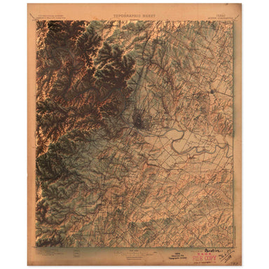 Save Liquid error (snippets/product-badge line 32): Computation results in '-Infinity'%
1897 United States Geological Survey topographic map of Austin, Texas combined with a digitally-rendered 3-dimensional elevation. 2D print Lustre ...
View full details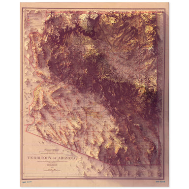 Save Liquid error (snippets/product-badge line 32): Computation results in '-Infinity'%
1899 Department of the Interior, General Land Office map of the Arizona Territory combined with a digitally-rendered 3-dimensional elevation. 2D p...
View full details
 Save Liquid error (snippets/product-badge line 32): Computation results in '-Infinity'%
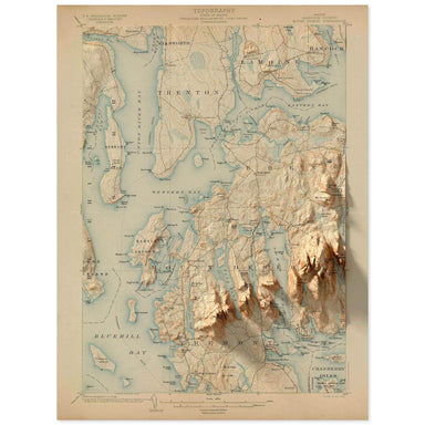
1904 United States Geological Survey topographic map of the Acadia National Park region combined with a digitally-rendered 3-dimensional elevation....
View full details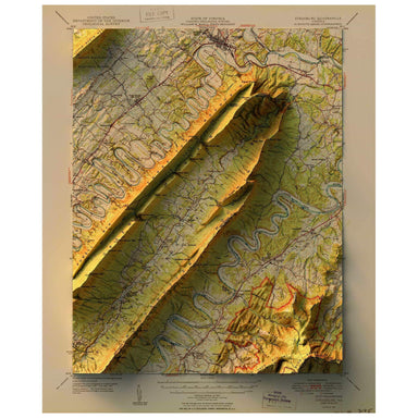 Save Liquid error (snippets/product-badge line 32): Computation results in '-Infinity'%
1950 United States Geological Survey topographic map of Strasbourg, Virginia combined with a digitally-rendered 3-dimensional elevation. 2D print ...
View full details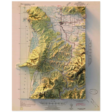 Save Liquid error (snippets/product-badge line 32): Computation results in '-Infinity'%
1942 United States Geological Survey topographic map of Tillamook, Oregon combined with a digitally-rendered 3-dimensional elevation. 2D print Lus...
View full details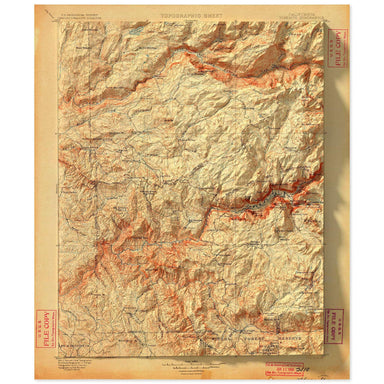 Save Liquid error (snippets/product-badge line 32): Computation results in '-Infinity'%
1900 United States Geological Survey topographic map of Yosemite National Parkcombined with a digitally-rendered 3-dimensional elevation. 2D print...
View full details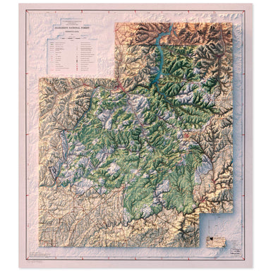 Save Liquid error (snippets/product-badge line 32): Computation results in '-Infinity'%
1973 U.S. Department of Agriculture, Forest Service map of Allegheny National Forest combined with a digitally-rendered 3-dimensional elevation. 2...
View full details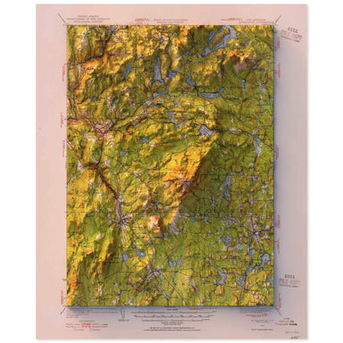 Save Liquid error (snippets/product-badge line 32): Computation results in '-Infinity'%
1949 United States Geological Survey topographic map of Monadnock, New Hampshire combined with a digitally-rendered 3-dimensional elevation. 2D pr...
View full details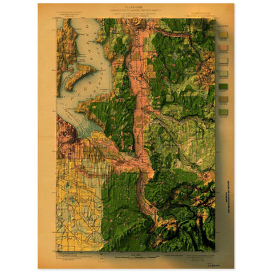 Save Liquid error (snippets/product-badge line 32): Computation results in '-Infinity'%
1897 United States Geological Survey topographic map of Tacoma, Washington combined with a digitally-rendered 3-dimensional elevation. 2D print Lu...
View full details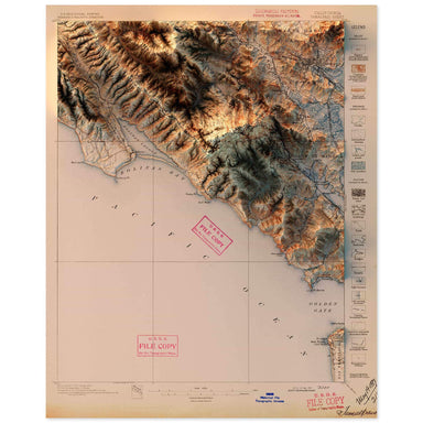 Save Liquid error (snippets/product-badge line 32): Computation results in '-Infinity'%
1897 United States Geological Survey topographic map of Tamalpais, California combined with a digitally-rendered 3-dimensional elevation. 2D print...
View full details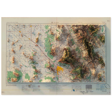 Save Liquid error (snippets/product-badge line 32): Computation results in '-Infinity'%
1958 United States Geological Survey topographic map of Tucson, Arizona combined with a digitally-rendered 3-dimensional elevation. 2D print Lustr...
View full details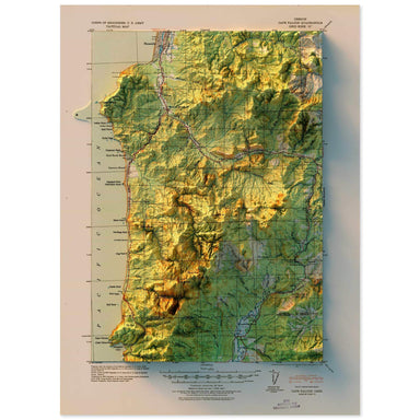 Save Liquid error (snippets/product-badge line 32): Computation results in '-Infinity'%
1920 United States Geological Survey topographic map of Cape Falcon, Oregon combined with a digitally-rendered 3-dimensional elevation. 2D print L...
View full details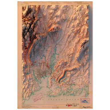 Save Liquid error (snippets/product-badge line 32): Computation results in '-Infinity'%
1892 United States Geological Survey topographic map of New Haven, Connecticut combined with a digitally-rendered 3-dimensional elevation. 2D prin...
View full details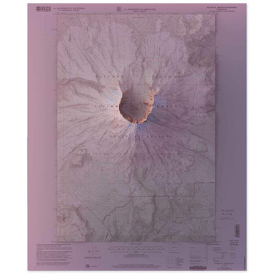 Save Liquid error (snippets/product-badge line 32): Computation results in '-Infinity'%
1983 United States Geological Survey topographic map of Mt. St. Helens combined with a digitally-rendered 3-dimensional elevation. 2D print Lustre...
View full details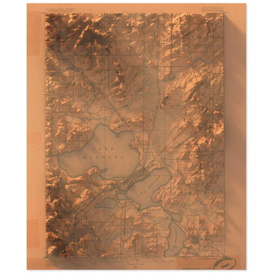 Save Liquid error (snippets/product-badge line 32): Computation results in '-Infinity'%
1890 United States Geological Survey topographic map of the Madison, Wisconsin combined with a digitally-rendered 3-dimensional elevation. 2D prin...
View full details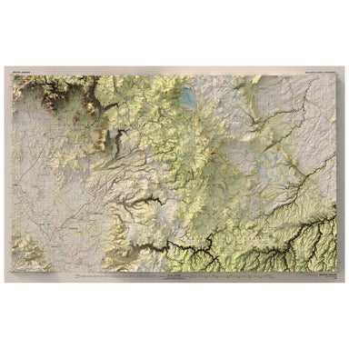 Save Liquid error (snippets/product-badge line 32): Computation results in '-Infinity'%
1980 United States Geological Survey map of Sedona, Arizona combined with a digitally-rendered 3-dimensional elevation. 2D print Lustre Prints: Ar...
View full details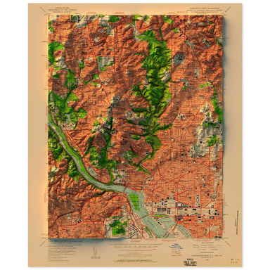 Save Liquid error (snippets/product-badge line 32): Computation results in '-Infinity'%
1956 United States Geological Survey topographic map of Washington, D.C. combined with a digitally-rendered 3-dimensional elevation. 2D print Lust...
View full details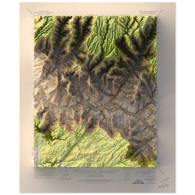 Save Liquid error (snippets/product-badge line 32): Computation results in '-Infinity'%
1962 United States Geological Survey topographic map of Bright Angel, Grand Canyon, Arizona combined with a digitally-rendered 3-dimensional elevat...
View full details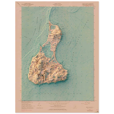 Save Liquid error (snippets/product-badge line 32): Computation results in '-Infinity'%
1957 United States Geological Survey topographic map of Block Island, Rhode Island combined with a digitally-rendered 3-dimensional elevation. 2D ...
View full details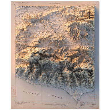 Save Liquid error (snippets/product-badge line 32): Computation results in '-Infinity'%
1921 United States Geological Survey topographic map of Triunfo Pass, California combined with a digitally-rendered 3-dimensional elevation. 2D p...
View full details
