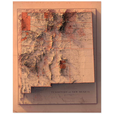
New Mexico Territory
1882 Department of the Interior, General Land Office map of the New Mexico Territory combined with a digitally-rendered 3-dimensional elevation. 2...
View full details Save Liquid error (snippets/product-badge line 32): Computation results in '-Infinity'%
1882 Department of the Interior, General Land Office map of the New Mexico Territory combined with a digitally-rendered 3-dimensional elevation. 2...
View full details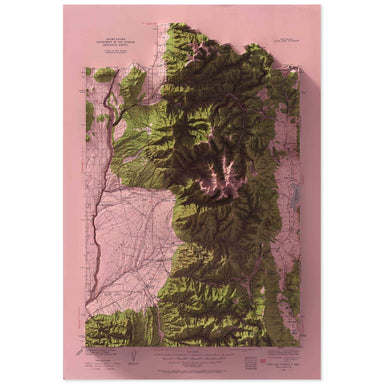 Save Liquid error (snippets/product-badge line 32): Computation results in '-Infinity'%
1936 United States Geological Survey topographic map of Taos, New Mexico combined with a digitally-rendered 3-dimensional elevation. 2D print Lust...
View full details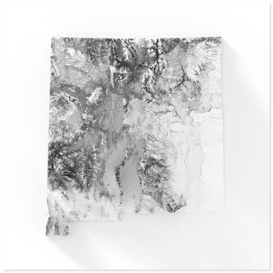 Save Liquid error (snippets/product-badge line 32): Computation results in '-Infinity'%
Digitally-rendered 3-dimensional elevation of New Mexico. 2D print Lustre Prints: Archival photo inkjet print on lustre (slight sheen) paper. Matt...
View full details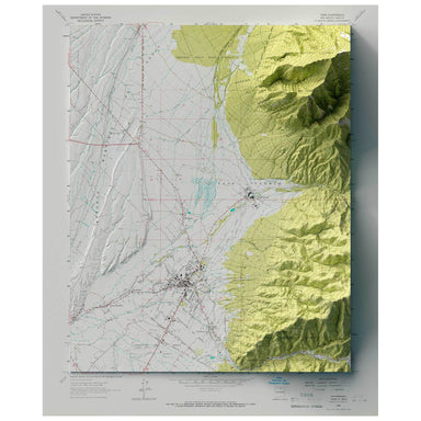 Save Liquid error (snippets/product-badge line 32): Computation results in '-Infinity'%
1964 United States Geological Survey map of Taos, New Mexico combined with a digitally-rendered 3-dimensional elevation. 2D print 2D print Lustre ...
View full details Save Liquid error (snippets/product-badge line 32): Computation results in '-Infinity'%
1919 USGS Map of Canutillo, New Mexico combined with a digitally-rendered 3-dimensional elevation. 2D print Lustre Prints: Archival photo inkjet p...
View full details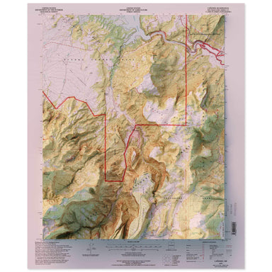 Save Liquid error (snippets/product-badge line 32): Computation results in '-Infinity'%
1995 United States Geological Survey map of Canones, New Mexico combined with a digitally-rendered 3-dimensional elevation. 2D print Lustre Prints...
View full details
