
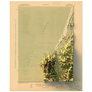
Empire, Oregon
1944 United States Geological Survey topographic map of Empire, Oregon combined with a digitally-rendered 3-dimensional elevation. 2D print Lustre...
View full details
 Save Liquid error (snippets/product-badge line 32): Computation results in '-Infinity'%
1944 United States Geological Survey topographic map of Empire, Oregon combined with a digitally-rendered 3-dimensional elevation. 2D print Lustre...
View full details
 Save Liquid error (snippets/product-badge line 32): Computation results in '-Infinity'%
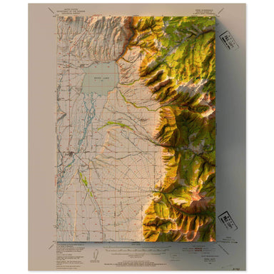
1949 United States Geological Survey topographic map of Ennis, Montana combined with a digitally-rendered 3-dimensional elevation. 2D print Lustre...
View full details
 Save Liquid error (snippets/product-badge line 32): Computation results in '-Infinity'%
1976 Central Intelligence Agency map of Ethiopia combined with a digitally-rendered 3-dimensional elevation. 2D print Lustre Prints: Archival phot...
View full details
 Save Liquid error (snippets/product-badge line 32): Computation results in '-Infinity'%
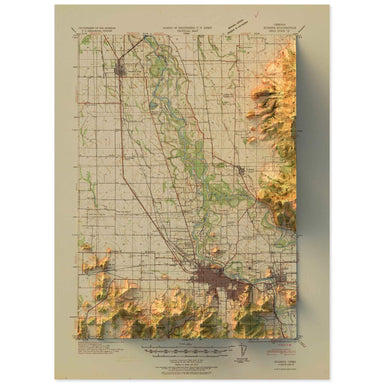
1940 United States Geological Survey topographic map of Eugene, Oregon combined with a digitally-rendered 3-dimensional elevation. 2D print Lustre...
View full details
 Save Liquid error (snippets/product-badge line 32): Computation results in '-Infinity'%
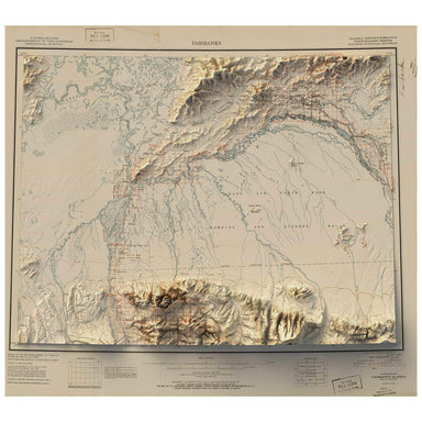
1951 United States Geological Survey map of Fairbanks, Alaska combined with a digitally-rendered 3-dimensional elevation. 2D print Lustre Prints: ...
View full details
 Save Liquid error (snippets/product-badge line 32): Computation results in '-Infinity'%
A contemporary portrait of Arkansas, drawn from agricultural coverage data and rendered with a minimalist approach. Each poster balances high-resol...
View full details
 Save Liquid error (snippets/product-badge line 32): Computation results in '-Infinity'%
A contemporary portrait of Illinois, drawn from agricultural coverage data and rendered with a minimalist approach. Each poster balances high-resol...
View full details
 Save Liquid error (snippets/product-badge line 32): Computation results in '-Infinity'%
A contemporary portrait of Indiana, drawn from agricultural coverage data and rendered with a minimalist approach. Each poster balances high-resolu...
View full details
 Save Liquid error (snippets/product-badge line 32): Computation results in '-Infinity'%
A contemporary portrait of Iowa, drawn from agricultural coverage data and rendered with a minimalist approach. Each poster balances high-resolutio...
View full details
 Save Liquid error (snippets/product-badge line 32): Computation results in '-Infinity'%
A contemporary portrait of Kansas, drawn from agricultural coverage data and rendered with a minimalist approach. Each poster balances high-resolut...
View full details
 Save Liquid error (snippets/product-badge line 32): Computation results in '-Infinity'%
A contemporary portrait of Kentucky, drawn from agricultural coverage data and rendered with a minimalist approach. Each poster balances high-resol...
View full details
 Save Liquid error (snippets/product-badge line 32): Computation results in '-Infinity'%
A contemporary portrait of Missouri, drawn from agricultural coverage data and rendered with a minimalist approach. Each poster balances high-resol...
View full details
 Save Liquid error (snippets/product-badge line 32): Computation results in '-Infinity'%
A contemporary portrait of Nebraska, drawn from agricultural coverage data and rendered with a minimalist approach. Each poster balances high-resol...
View full details
 Save Liquid error (snippets/product-badge line 32): Computation results in '-Infinity'%
A contemporary portrait of New York, drawn from agricultural coverage data and rendered with a minimalist approach. Each poster balances high-resol...
View full details
 Save Liquid error (snippets/product-badge line 32): Computation results in '-Infinity'%
A contemporary portrait of North Dakota, drawn from agricultural coverage data and rendered with a minimalist approach. Each poster balances high-r...
View full details
 Save Liquid error (snippets/product-badge line 32): Computation results in '-Infinity'%
A contemporary portrait of Ohio, drawn from agricultural coverage data and rendered with a minimalist approach. Each poster balances high-resolutio...
View full details
 Save Liquid error (snippets/product-badge line 32): Computation results in '-Infinity'%
A contemporary portrait of Pennsylvania, drawn from agricultural coverage data and rendered with a minimalist approach. Each poster balances high-r...
View full details
 Save Liquid error (snippets/product-badge line 32): Computation results in '-Infinity'%
A contemporary portrait of Tennessee, drawn from agricultural coverage data and rendered with a minimalist approach. Each poster balances high-reso...
View full details
 Save Liquid error (snippets/product-badge line 32): Computation results in '-Infinity'%
A contemporary portrait of Minnesota, drawn from agricultural coverage data and rendered with a minimalist approach. Each poster balances high-reso...
View full details
 Save Liquid error (snippets/product-badge line 32): Computation results in '-Infinity'%
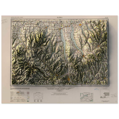
1950 Army Map Service map of the Finger Lakes, New York combined with a digitally-rendered 3-dimensional elevation. 2D print Lustre Prints: Archiv...
View full details
 Save Liquid error (snippets/product-badge line 32): Computation results in '-Infinity'%
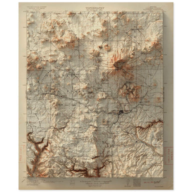
1912 United States Geological Survey map of Flagstaff, Arizona combined with a digitally-rendered 3-dimensional elevation. 2D print Lustre Prints:...
View full details
 Save Liquid error (snippets/product-badge line 32): Computation results in '-Infinity'%
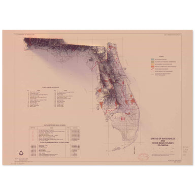
1988 United States Department of Agriculture “Status of Watersheds and River Basin Studies of Florida” combined with a digitally-rendered 3-dimensi...
View full details
 Save Liquid error (snippets/product-badge line 32): Computation results in '-Infinity'%
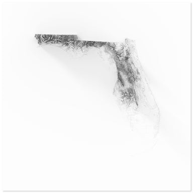
Digitally-rendered 3-dimensional elevation of Florida. 2D print Lustre Prints: Archival photo inkjet print on lustre (slight sheen) paper. Matte G...
View full details
 Save Liquid error (snippets/product-badge line 32): Computation results in '-Infinity'%
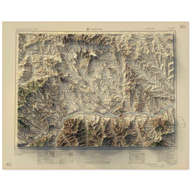
1957 Army Map Service map of Forsyth, Montana combined with a digitally-rendered 3-dimensional elevation. 2D print Lustre Prints: Archival photo i...
View full details