
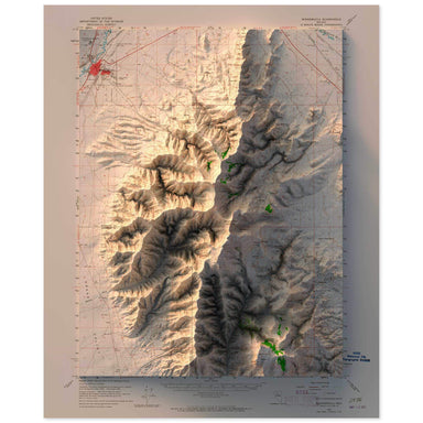
Winnemucca, Nevada
1958 United States Geological Survey topographic map of Winnemucca, Nevada combined with a digitally-rendered 3-dimensional elevation. 2D print Lu...
View full details
 Save Liquid error (snippets/product-badge line 32): Computation results in '-Infinity'%
1958 United States Geological Survey topographic map of Winnemucca, Nevada combined with a digitally-rendered 3-dimensional elevation. 2D print Lu...
View full details
 Save Liquid error (snippets/product-badge line 32): Computation results in '-Infinity'%
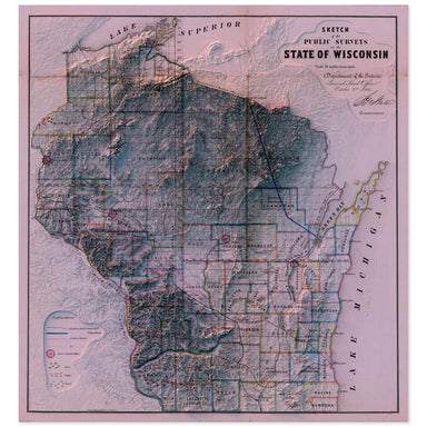
1866 “Sketch of the Public Surveys in the State of Wisconsin” from the Department of the Interior General Land Office combined with a digitally-ren...
View full details
 Save Liquid error (snippets/product-badge line 32): Computation results in '-Infinity'%
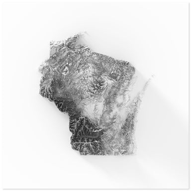
Digitally-rendered 3-dimensional elevation of Wisconsin. 2D print Lustre Prints: Archival photo inkjet print on lustre (slight sheen) paper. Matte...
View full details
 Save Liquid error (snippets/product-badge line 32): Computation results in '-Infinity'%
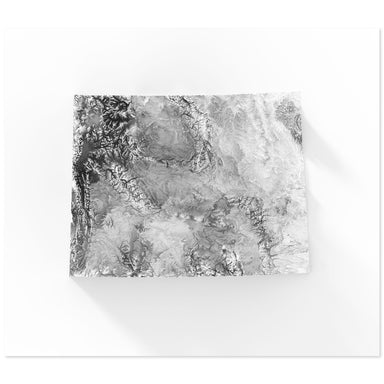
Digitally-rendered 3-dimensional elevation of Wyoming. 2D print Lustre Prints: Archival photo inkjet print on lustre (slight sheen) paper. Matte G...
View full details
 Save Liquid error (snippets/product-badge line 32): Computation results in '-Infinity'%
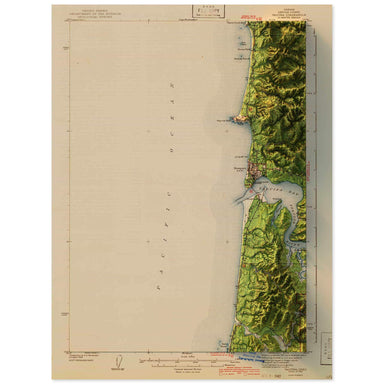
1942 United States Geological Survey topographic map of Yaquina, Oregon combined with a digitally-rendered 3-dimensional elevation. 2D print Lustr...
View full details
 Save Liquid error (snippets/product-badge line 32): Computation results in '-Infinity'%
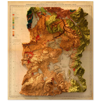
1878 United States Geological Survey geological map of Yellowstone National Park combined with a digitally-rendered 3-dimensional elevation. 2D pr...
View full details
 Save Liquid error (snippets/product-badge line 32): Computation results in '-Infinity'%
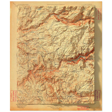
1900 United States Geological Survey topographic map of Yosemite National Parkcombined with a digitally-rendered 3-dimensional elevation. 2D print...
View full details
 Save Liquid error (snippets/product-badge line 32): Computation results in '-Infinity'%
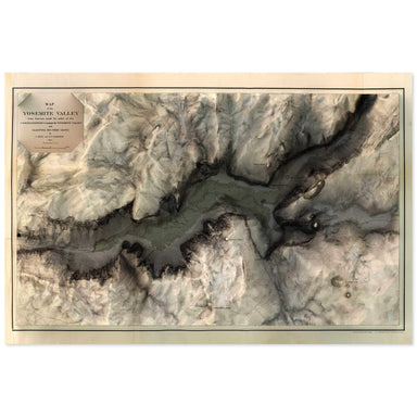
1865 map of the Yosemite Valley, California combined with a digitally-rendered 3-dimensional elevation. 2D print Lustre Prints: Archival photo ink...
View full details
 Save Liquid error (snippets/product-badge line 32): Computation results in '-Infinity'%
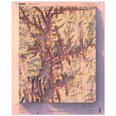
1980 United States Geological Survey topographic map of Zion National Park combined with a digitally-rendered 3-dimensional elevation. 2D print Lu...
View full details