
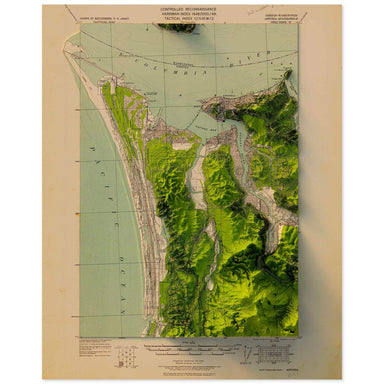
Astoria, Oregon
1919 United States Geological Survey topographic map of Astoria, Oregon combined with a digitally-rendered 3-dimensional elevation. 2D print Lustr...
View full details
 Save Liquid error (snippets/product-badge line 32): Computation results in '-Infinity'%
1919 United States Geological Survey topographic map of Astoria, Oregon combined with a digitally-rendered 3-dimensional elevation. 2D print Lustr...
View full details
 Save Liquid error (snippets/product-badge line 32): Computation results in '-Infinity'%
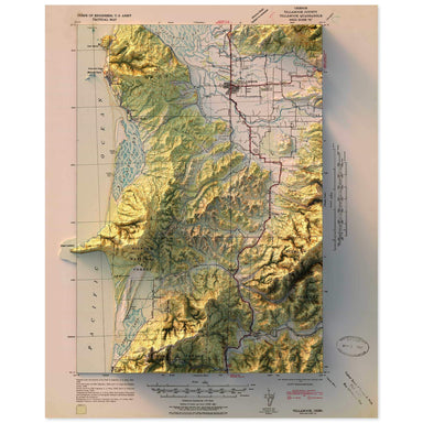
1942 United States Geological Survey topographic map of Tillamook, Oregon combined with a digitally-rendered 3-dimensional elevation. 2D print Lus...
View full details
 Save Liquid error (snippets/product-badge line 32): Computation results in '-Infinity'%
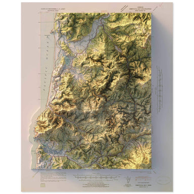
1941 United States Geological Survey topographic map of Nestucca Bay, Oregon combined with a digitally-rendered 3-dimensional elevation. 2D print ...
View full details
 Save Liquid error (snippets/product-badge line 32): Computation results in '-Infinity'%
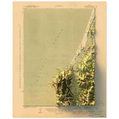
1944 United States Geological Survey topographic map of Empire, Oregon combined with a digitally-rendered 3-dimensional elevation. 2D print Lustre...
View full details
 Save Liquid error (snippets/product-badge line 32): Computation results in '-Infinity'%
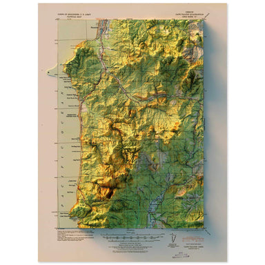
1920 United States Geological Survey topographic map of Cape Falcon, Oregon combined with a digitally-rendered 3-dimensional elevation. 2D print L...
View full details
 Save Liquid error (snippets/product-badge line 32): Computation results in '-Infinity'%
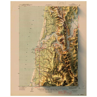
1944 United States Geological Survey topographic map of Bandon, Oregon combined with a digitally-rendered 3-dimensional elevation. 2D print Lustre...
View full details
 Save Liquid error (snippets/product-badge line 32): Computation results in '-Infinity'%
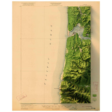
1922 United States Geological Survey topographic map of Waldport, Oregon combined with a digitally-rendered 3-dimensional elevation. 2D print Lust...
View full details
 Save Liquid error (snippets/product-badge line 32): Computation results in '-Infinity'%
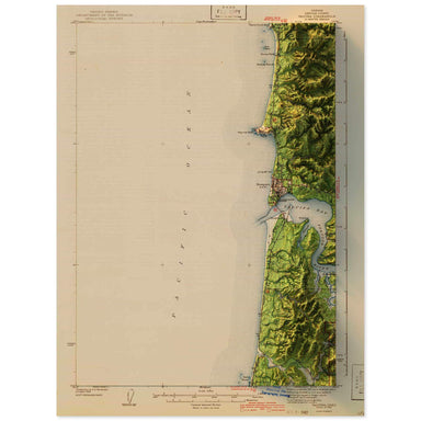
1942 United States Geological Survey topographic map of Yaquina, Oregon combined with a digitally-rendered 3-dimensional elevation. 2D print Lustr...
View full details
 Save Liquid error (snippets/product-badge line 32): Computation results in '-Infinity'%
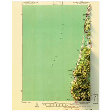
1941 United States Geological Survey topographic map of Cape Foulweather, Oregon combined with a digitally-rendered 3-dimensional elevation. 2D pr...
View full details
 Save Liquid error (snippets/product-badge line 32): Computation results in '-Infinity'%
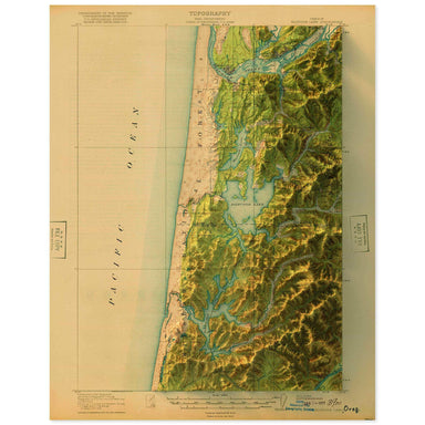
1920 United States Geological Survey topographic map of Siltcoos Lake, Oregon combined with a digitally-rendered 3-dimensional elevation. 2D print...
View full details
 Save Liquid error (snippets/product-badge line 32): Computation results in '-Infinity'%
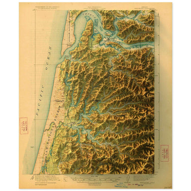
1923 United States Geological Survey topographic map of Reedsport, Oregon combined with a digitally-rendered 3-dimensional elevation. 2D print Lus...
View full details
 Save Liquid error (snippets/product-badge line 32): Computation results in '-Infinity'%
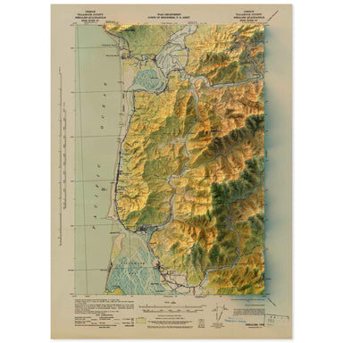
1943 United States Geological Survey topographic map of Nehalem, Oregon combined with a digitally-rendered 3-dimensional elevation. 2D print Lustr...
View full details
 Save Liquid error (snippets/product-badge line 32): Computation results in '-Infinity'%
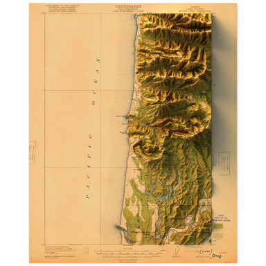
1920 United States Geological Survey topographic map of Heceta Head, Oregon combined with a digitally-rendered 3-dimensional elevation. 2D print L...
View full details