
California Geology
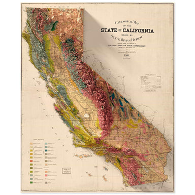
1916 State Mining Bureau of California geologic map of California combined with a digitally-rendered 3-dimensional elevation. 2D print Lustre Prin...
View full details
 Save Liquid error (snippets/product-badge line 32): Computation results in '-Infinity'%
1916 State Mining Bureau of California geologic map of California combined with a digitally-rendered 3-dimensional elevation. 2D print Lustre Prin...
View full details
 Save Liquid error (snippets/product-badge line 32): Computation results in '-Infinity'%
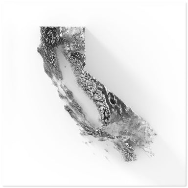
Digitally-rendered 3-dimensional elevation of California. 2D print Lustre Prints: Archival photo inkjet print on lustre (slight sheen) paper. Matt...
View full details
 Save Liquid error (snippets/product-badge line 32): Computation results in '-Infinity'%
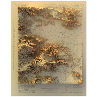
1943 United States Geological Survey topographic map of the Joshua Tree National Park region combined with a digitally-rendered 3-dimensional eleva...
View full details
 Save Liquid error (snippets/product-badge line 32): Computation results in '-Infinity'%
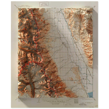
2D print Lustre Prints: Archival photo inkjet print on lustre (slight sheen) paper. Matte Giclée Prints: Archival pigment-based artist's print on ...
View full details
 Save Liquid error (snippets/product-badge line 32): Computation results in '-Infinity'%
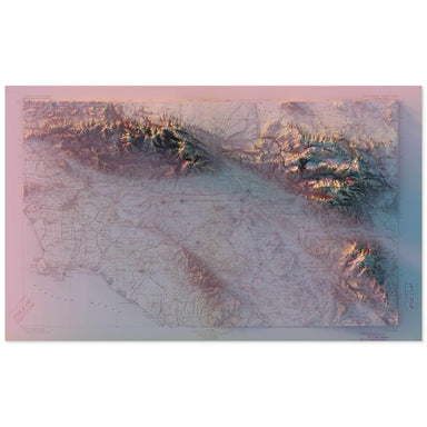
1901 United States Geological Survey topographic map of Southern California combined with a digitally-rendered 3-dimensional elevation. 2D print L...
View full details
 Save Liquid error (snippets/product-badge line 32): Computation results in '-Infinity'%
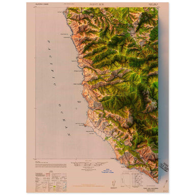
1947 United States Geological Survey topographic map of Point Sur, California combined with a digitally-rendered 3-dimensional elevation. 2D print...
View full details
 Save Liquid error (snippets/product-badge line 32): Computation results in '-Infinity'%
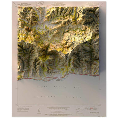
1951 United States Geological Survey topographic map of Malibu, California combined with a digitally-rendered 3-dimensional elevation. 2D print Lu...
View full details
 Save Liquid error (snippets/product-badge line 32): Computation results in '-Infinity'%
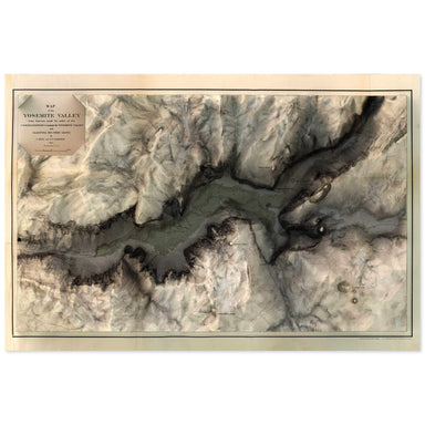
1865 map of the Yosemite Valley, California combined with a digitally-rendered 3-dimensional elevation. 2D print Lustre Prints: Archival photo ink...
View full details
 Save Liquid error (snippets/product-badge line 32): Computation results in '-Infinity'%
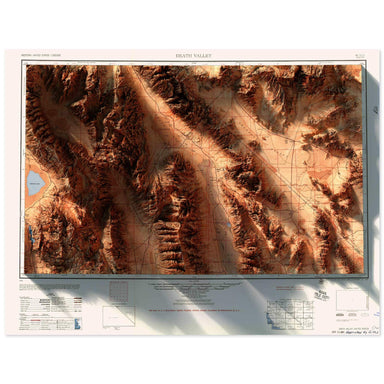
1956 Army Map Services topographic map of Death Valley, California combined with a digitally-rendered 3-dimensional elevation. 2D print Lustre Pri...
View full details
 Save Liquid error (snippets/product-badge line 32): Computation results in '-Infinity'%
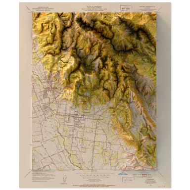
1951 United States Department of the Interior Administrative Map of Sonoma, California combined with a digitally-rendered 3-dimensional elevation. ...
View full details
 Save Liquid error (snippets/product-badge line 32): Computation results in '-Infinity'%
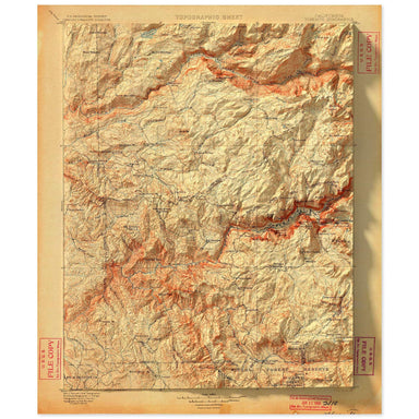
1900 United States Geological Survey topographic map of Yosemite National Parkcombined with a digitally-rendered 3-dimensional elevation. 2D print...
View full details
 Save Liquid error (snippets/product-badge line 32): Computation results in '-Infinity'%
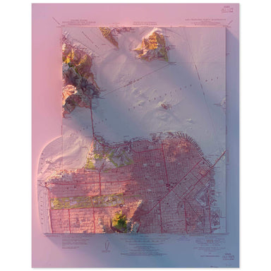
1947 United States Geological Survey topographic map of San Francisco combined with a digitally-rendered 3-dimensional elevation. 2D print Lustre ...
View full details
 Save Liquid error (snippets/product-badge line 32): Computation results in '-Infinity'%
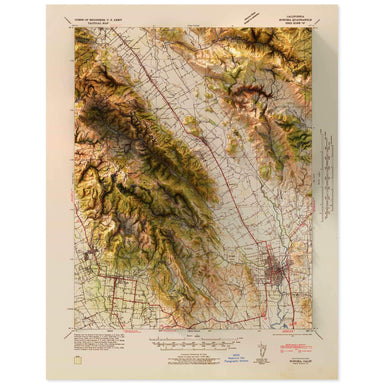
1942 United States Geological Survey map of Napa Valley, California combined with a digitally-rendered 3-dimensional elevation. 2D print Lustre Pr...
View full details
 Save Liquid error (snippets/product-badge line 32): Computation results in '-Infinity'%
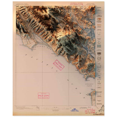
1897 United States Geological Survey topographic map of Tamalpais, California combined with a digitally-rendered 3-dimensional elevation. 2D print...
View full details
 Save Liquid error (snippets/product-badge line 32): Computation results in '-Infinity'%
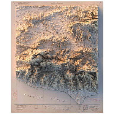
1921 United States Geological Survey topographic map of Triunfo Pass, California combined with a digitally-rendered 3-dimensional elevation. 2D p...
View full details
 Save Liquid error (snippets/product-badge line 32): Computation results in '-Infinity'%
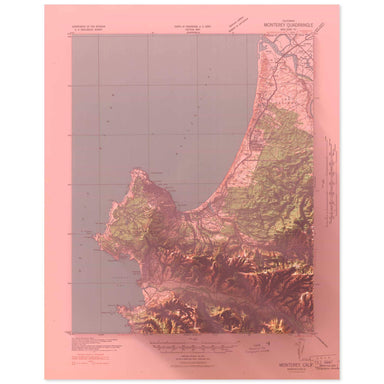
1941 United States Geological Survey topographic map of Carmel, California combined with a digitally-rendered 3-dimensional elevation. 2D print Lu...
View full details
 Save Liquid error (snippets/product-badge line 32): Computation results in '-Infinity'%
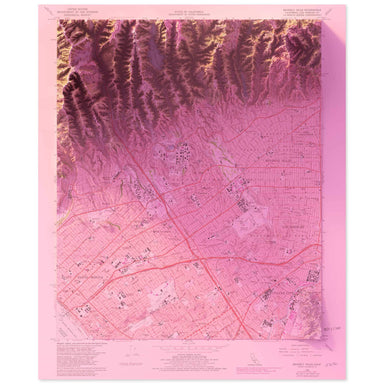
1966 United States Geological Survey topographic map of Beverly Hills, California combined with a digitally-rendered 3-dimensional elevation. 2D p...
View full details
 Save Liquid error (snippets/product-badge line 32): Computation results in '-Infinity'%
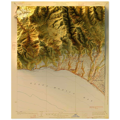
1928 United States Geological Survey topographic map of Topanga, California combined with a digitally-rendered 3-dimensional elevation. 2D print L...
View full details
 Save Liquid error (snippets/product-badge line 32): Computation results in '-Infinity'%
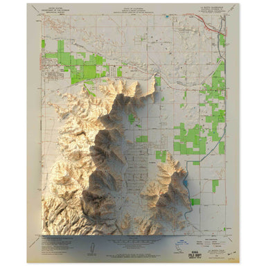
1959 United States Geological Survey topographic map of the Coachella Valley, California combined with a digitally-rendered 3-dimensional elevation...
View full details
 Save Liquid error (snippets/product-badge line 32): Computation results in '-Infinity'%
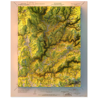
1948 United States Geological Survey topographic map of Nevada City, California combined with a digitally-rendered 3-dimensional elevation. 2D pri...
View full details
 Save Liquid error (snippets/product-badge line 32): Computation results in '-Infinity'%
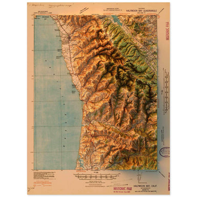
1940 United States Geological Survey topographic map of Half Moon Bay, California combined with a digitally-rendered 3-dimensional elevation. 2D p...
View full details
 Save Liquid error (snippets/product-badge line 32): Computation results in '-Infinity'%
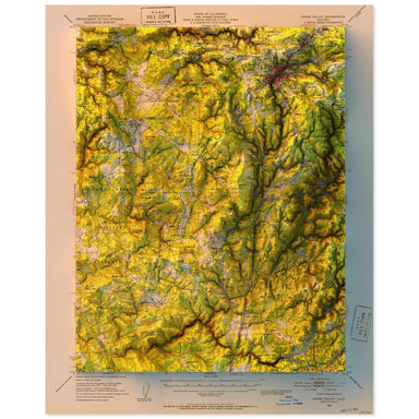
1949 United States Geological Survey topographic map of Grass Valley, California combined with a digitally-rendered 3-dimensional elevation. 2D pr...
View full details
 Save Liquid error (snippets/product-badge line 32): Computation results in '-Infinity'%
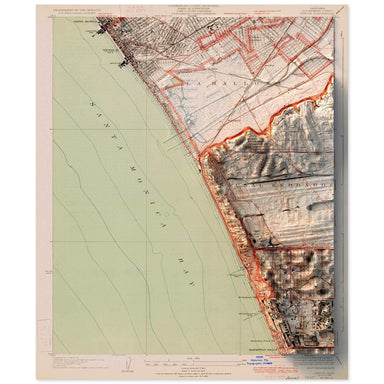
1934 United States Geological Survey topographic map of Venice, California combined with a digitally-rendered 3-dimensional elevation. 2D print Lu...
View full details
 Save Liquid error (snippets/product-badge line 32): Computation results in '-Infinity'%
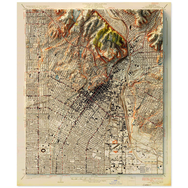
1928 United States Geological Survey topographic map of Silver Lake, Los Angeles, California combined with a digitally-rendered 3-dimensional eleva...
View full details
 Save Liquid error (snippets/product-badge line 32): Computation results in '-Infinity'%
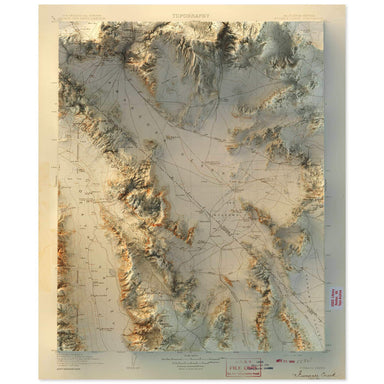
1908 United States Geological Survey map of Furnace Creek, California combined with a digitally-rendered 3-dimensional elevation. 2D print Lustre ...
View full details
 Save Liquid error (snippets/product-badge line 32): Computation results in '-Infinity'%
1953 United States Geological Survey map of Pasadena, California combined with a digitally-rendered 3-dimensional elevation. 2D print Lustre Print...
View full details
 Save Liquid error (snippets/product-badge line 32): Computation results in '-Infinity'%
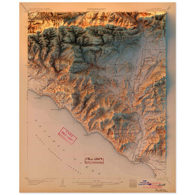
1904 United States Geological Survey topographic map of Ventura, California combined with a digitally-rendered 3-dimensional elevation. 2D print L...
View full details
 Save Liquid error (snippets/product-badge line 32): Computation results in '-Infinity'%
1886 United States Geological Survey topographic map of Iris Wash, California combined with a digitally-rendered 3-dimensional elevation. 2D print...
View full details
 Save Liquid error (snippets/product-badge line 32): Computation results in '-Infinity'%
1953 United States Geological Survey topographic map of Mono Craters, California combined with a digitally-rendered 3-dimensional elevation. 2D pr...
View full details
 Save Liquid error (snippets/product-badge line 32): Computation results in '-Infinity'%
1956 United States Geological Survey topographic map of Matterhorn Peak, California combined with a digitally-rendered 3-dimensional elevation. 2D...
View full details
 Save Liquid error (snippets/product-badge line 32): Computation results in '-Infinity'%
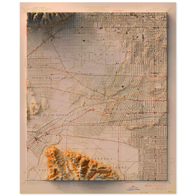
1926 United States Geological Survey topographic map of Hollywood, California combined with a digitally-rendered 3-dimensional elevation. 2D print...
View full details
 Save Liquid error (snippets/product-badge line 32): Computation results in '-Infinity'%
1935 Army Map Service topographic map of Mt. Shasta, California combined with a digitally-rendered 3-dimensional elevation. 2D print Lustre Prints...
View full details
 Save Liquid error (snippets/product-badge line 32): Computation results in '-Infinity'%
1957 United States Geological Survey topographic map of Palm Springs, California combined with a digitally-rendered 3-dimensional elevation. 2D pr...
View full details
 Save Liquid error (snippets/product-badge line 32): Computation results in '-Infinity'%
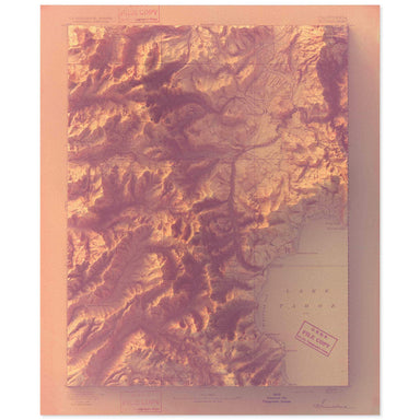
1893 United States Geological Survey map of Lake Tahoe combined with a digitally-rendered 3-dimensional elevation. 2D print Lustre Prints: Archiva...
View full details
 Save Liquid error (snippets/product-badge line 32): Computation results in '-Infinity'%
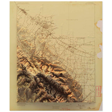
1890 United States Geological Survey topographic map of Cupertino, California combined with a digitally-rendered 3-dimensional elevation. 2D print...
View full details
 Save Liquid error (snippets/product-badge line 32): Computation results in '-Infinity'%
A contemporary portrait of California, drawn from tree coverage data and rendered with a minimalist approach. Each poster balances high-resolution ...
View full details
 Save Liquid error (snippets/product-badge line 32): Computation results in '-Infinity'%
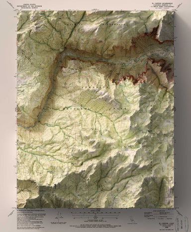
1990 USGS Map of Yosemite National Park combined with a digitally-rendered 3-dimensional elevation. 2D print Lustre Prints: Archival photo inkjet ...
View full details
 Save Liquid error (snippets/product-badge line 32): Computation results in '-Infinity'%
1990 USGS Map of Yosemite National Park combined with a digitally-rendered 3-dimensional elevation. 2D print Lustre Prints: Archival photo inkjet ...
View full details
 Save Liquid error (snippets/product-badge line 32): Computation results in '-Infinity'%
1902 United States Geological Survey map of San Gorgonio, California combined with a digitally-rendered 3-dimensional elevation. 2D print Lustre P...
View full details
 Save Liquid error (snippets/product-badge line 32): Computation results in '-Infinity'%
1947 United States Geological Survey map of Lucerne Valley, California combined with a digitally-rendered 3-dimensional elevation. 2D print Lustre...
View full details
 Save Liquid error (snippets/product-badge line 32): Computation results in '-Infinity'%
1954 United States Geological Survey map of San Gorgonio Mountain, California combined with a digitally-rendered 3-dimensional elevation. 2D print...
View full details
 Save Liquid error (snippets/product-badge line 32): Computation results in '-Infinity'%
1886 United States Geological Survey map of Modoc Lava Bed, California combined with a digitally-rendered 3-dimensional elevation. 2D print Lustre...
View full details
 Save Liquid error (snippets/product-badge line 32): Computation results in '-Infinity'%
1951 United States Department of the Interior Administrative Map of Napa, California combined with a digitally-rendered 3-dimensional elevation. 2...
View full details
 Save Liquid error (snippets/product-badge line 32): Computation results in '-Infinity'%
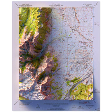
1949 United States Geological Survey topographic map of Mt. Tom, California combined with a digitally-rendered 3-dimensional elevation. 2D print L...
View full details
 Save Liquid error (snippets/product-badge line 32): Computation results in '-Infinity'%
1956 United States Geological Survey topographic map of Iris Wash, California combined with a digitally-rendered 3-dimensional elevation. 2D print...
View full details
 Save Liquid error (snippets/product-badge line 32): Computation results in '-Infinity'%
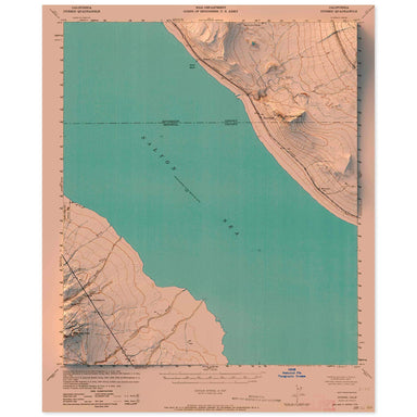
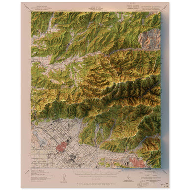
1943 United States Geological Survey topographic map of Durmid, California combined with a digitally-rendered 3-dimensional elevation. 2D print Lu...
View full details
 Save Liquid error (snippets/product-badge line 32): Computation results in '-Infinity'%
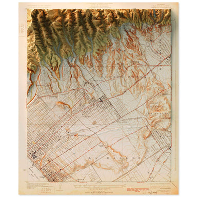
1940 United States Geological Survey topographic map of San Fernando, California combined with a digitally-rendered 3-dimensional elevation. 2D pr...
View full details
 Save Liquid error (snippets/product-badge line 32): Computation results in '-Infinity'%
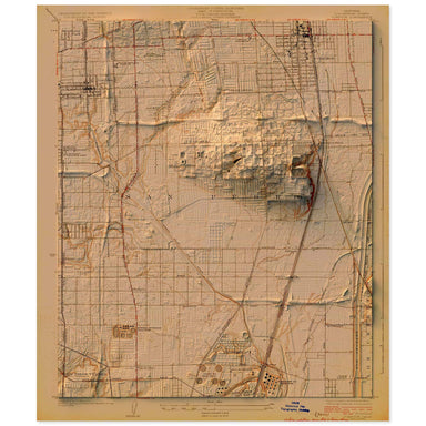
1925 United States Geological Survey topographic map of Santa Monica, California combined with a digitally-rendered 3-dimensional elevation. 2D pr...
View full details
 Save Liquid error (snippets/product-badge line 32): Computation results in '-Infinity'%
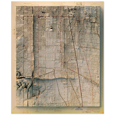
1924 United States Geological Survey topographic map of Compton, Los Angeles, California combined with a digitally-rendered 3-dimensional elevation...
View full details
 Save Liquid error (snippets/product-badge line 32): Computation results in '-Infinity'%
1924 United States Geological Survey topographic map of Watts, Los Angeles, California combined with a digitally-rendered 3-dimensional elevation. ...
View full details