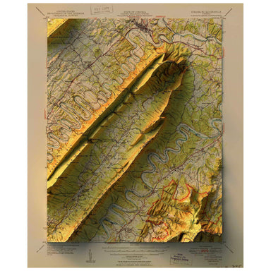
Strasbourg, Virginia
1950 United States Geological Survey topographic map of Strasbourg, Virginia combined with a digitally-rendered 3-dimensional elevation. 2D print ...
View full details Save Liquid error (snippets/product-badge line 32): Computation results in '-Infinity'%
1950 United States Geological Survey topographic map of Strasbourg, Virginia combined with a digitally-rendered 3-dimensional elevation. 2D print ...
View full details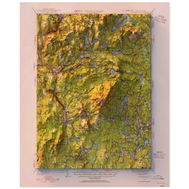 Save Liquid error (snippets/product-badge line 32): Computation results in '-Infinity'%
1949 United States Geological Survey topographic map of Monadnock, New Hampshire combined with a digitally-rendered 3-dimensional elevation. 2D pr...
View full details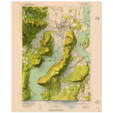 Save Liquid error (snippets/product-badge line 32): Computation results in '-Infinity'%
1952 United States Geological Survey topographic map of Sodus, New York combined with a digitally-rendered 3-dimensional elevation. 2D print Lustr...
View full details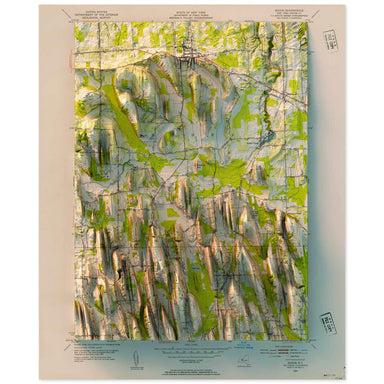 Save Liquid error (snippets/product-badge line 32): Computation results in '-Infinity'%
1952 United States Geological Survey topographic map of Sodus, New York combined with a digitally-rendered 3-dimensional elevation. 2D print Lustr...
View full details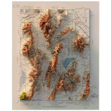 Save Liquid error (snippets/product-badge line 32): Computation results in '-Infinity'%
1932 United States Geological Survey topographic map of Sonoma Range, Nevada combined with a digitally-rendered 3-dimensional elevation. 2D print ...
View full details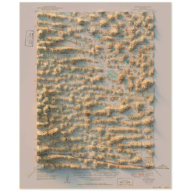 Save Liquid error (snippets/product-badge line 32): Computation results in '-Infinity'%
1949 United States Geological Survey topographic map of Ashby, Nebraska combined with a digitally-rendered 3-dimensional elevation. 2D print Lustr...
View full details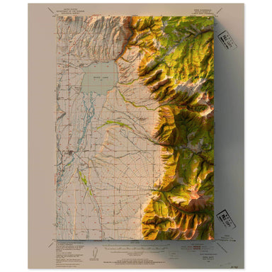 Save Liquid error (snippets/product-badge line 32): Computation results in '-Infinity'%
1949 United States Geological Survey topographic map of Ennis, Montana combined with a digitally-rendered 3-dimensional elevation. 2D print Lustre...
View full details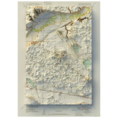 Save Liquid error (snippets/product-badge line 32): Computation results in '-Infinity'%
1949 United States Geological Survey map of Voltaire, North Dakota combined with a digitally-rendered 3-dimensional elevation. 2D print Lustre Pri...
View full details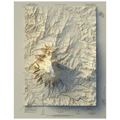 Save Liquid error (snippets/product-badge line 32): Computation results in '-Infinity'%
1953 United States Geological Survey map of North Butte, Wyoming combined with a digitally-rendered 3-dimensional elevation. 2D print Lustre Print...
View full details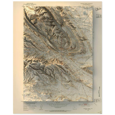 Save Liquid error (snippets/product-badge line 32): Computation results in '-Infinity'%
1951 United States Geological Survey map of Maverick Springs, Wyoming combined with a digitally-rendered 3-dimensional elevation. 2D print Lustre ...
View full details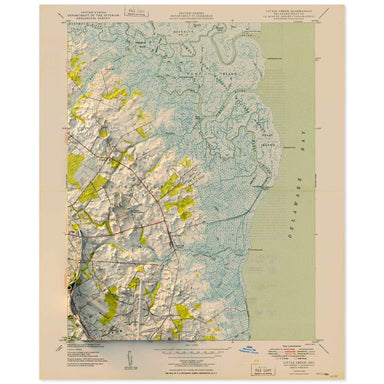 Save Liquid error (snippets/product-badge line 32): Computation results in '-Infinity'%
1949 United States Geological Survey topographic map of Little Creek, Delaware combined with a digitally-rendered 3-dimensional elevation. 2D prin...
View full details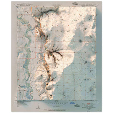 Save Liquid error (snippets/product-badge line 32): Computation results in '-Infinity'%
1950 United States Geological Survey topographic map of Bottomless Lakes, Nevada combined with a digitally-rendered 3-dimensional elevation. 2D pr...
View full details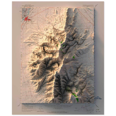 Save Liquid error (snippets/product-badge line 32): Computation results in '-Infinity'%
1958 United States Geological Survey topographic map of Winnemucca, Nevada combined with a digitally-rendered 3-dimensional elevation. 2D print Lu...
View full details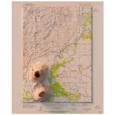 Save Liquid error (snippets/product-badge line 32): Computation results in '-Infinity'%
1951 United States Geological Survey topographic map of Menan Buttes, Idaho combined with a digitally-rendered 3-dimensional elevation. 2D print L...
View full details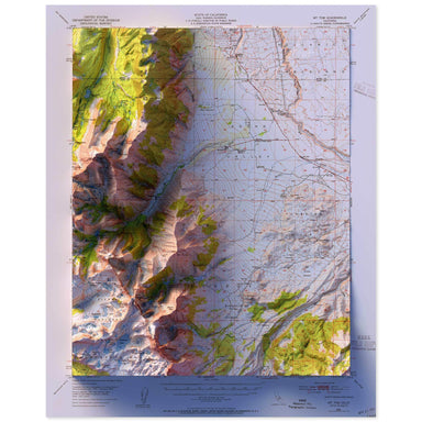 Save Liquid error (snippets/product-badge line 32): Computation results in '-Infinity'%
1949 United States Geological Survey topographic map of Mt. Tom, California combined with a digitally-rendered 3-dimensional elevation. 2D print L...
View full details
