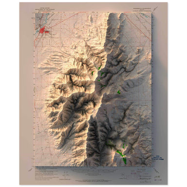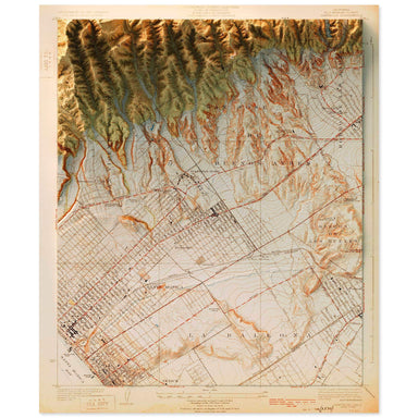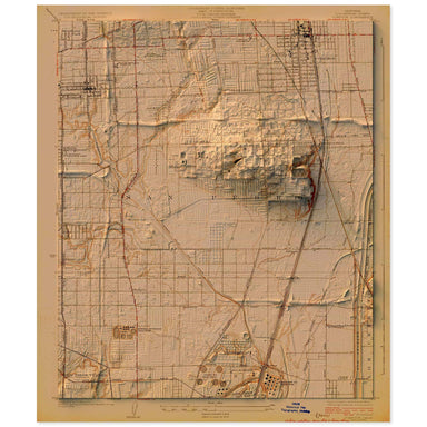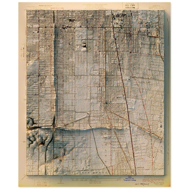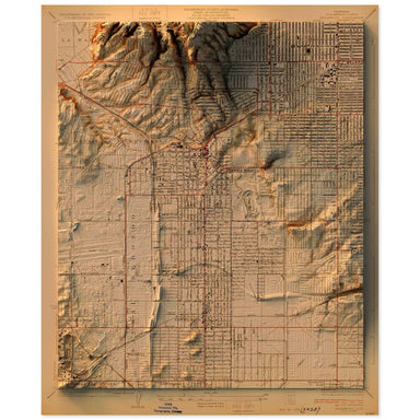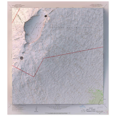
Old Faithful, Yellowstone National Park, Wyoming
from $55.00
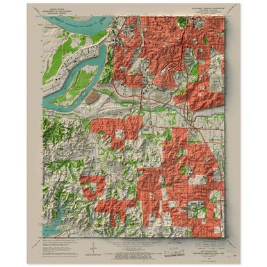
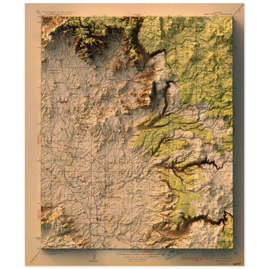
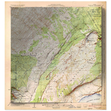
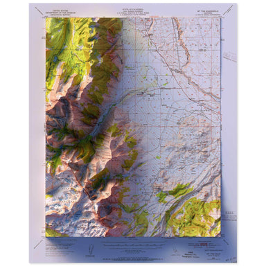
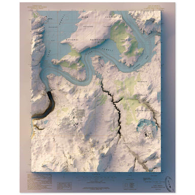
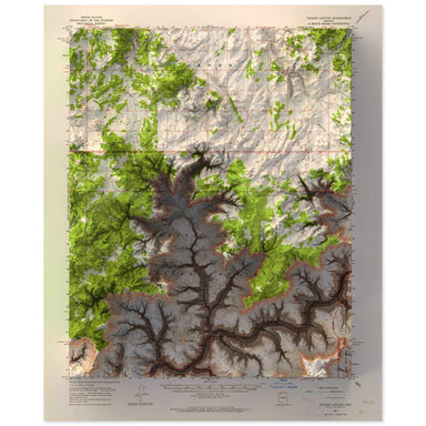
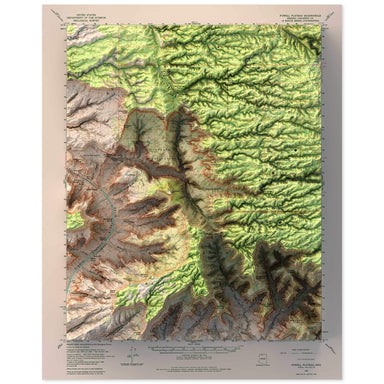
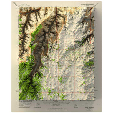
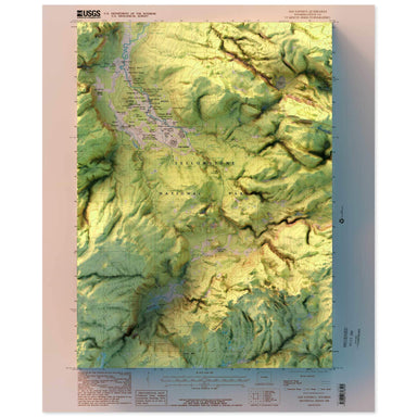
1986 United States Geological Survey topographic map of Old Faithful, Yellowstone National Park, Wyoming combined with a digitally-rendered 3-dimen...
View full details