

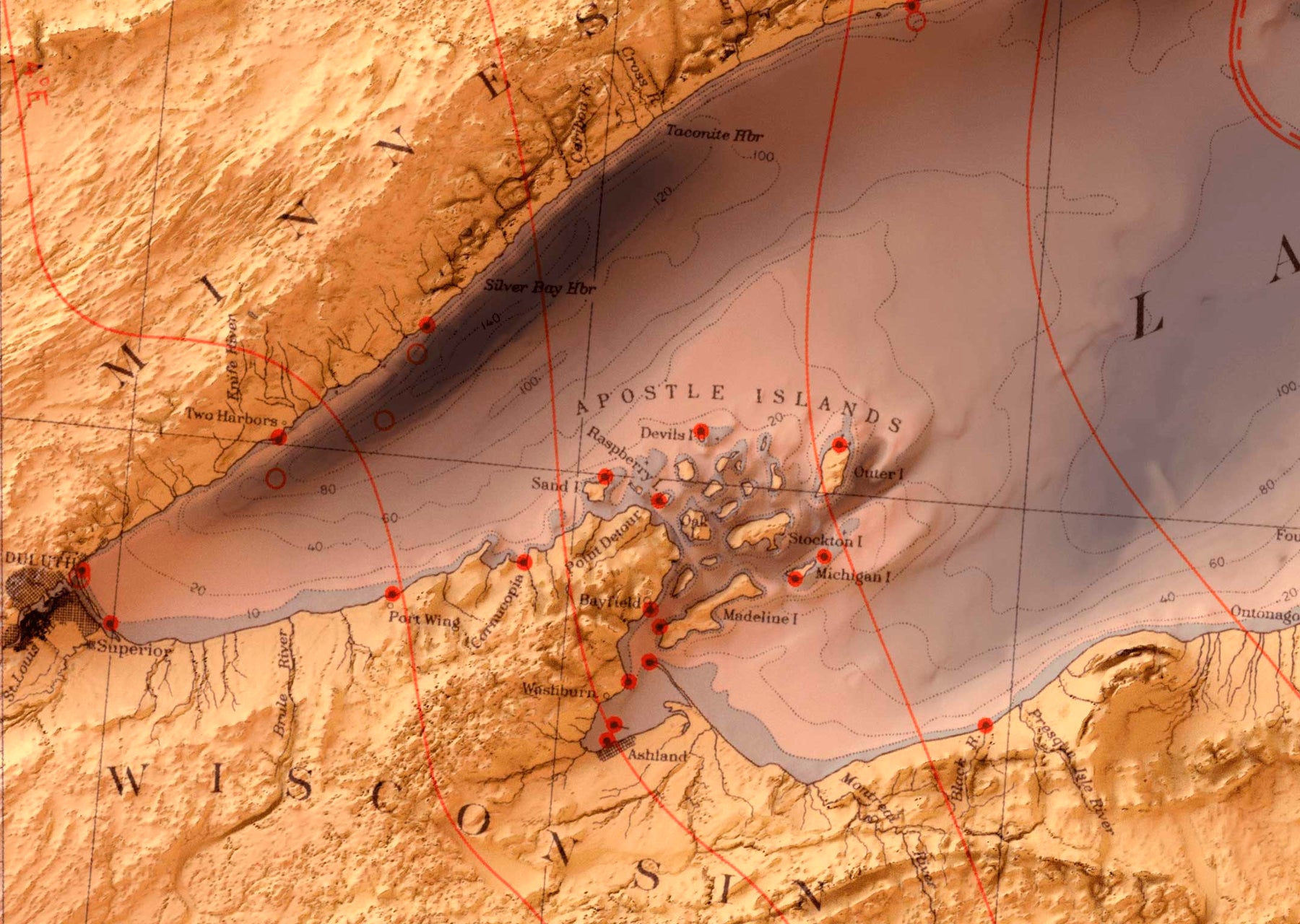
The Great Lakes are one of my most-requested locations. I've also wanted to do a one for a while, having spent my formative adult years in Chicago. Yet, it takes time to find the right map to work with. Luckily, in 1955 the US Army Corps of Engineers produced a simple and beautiful map of the Great Lakes region.

Special about this new map is that it combines both bathymetric data (depth of the water) and topographic data (height of the land). The result tells the story of how this region formed from millennia of glaciation.


I took a good amount of time when creating this map to find a way to "naturally" frame the title.
